
 | ||
Similar Totally Wicked Stadium, World of Glass, Carr Mill railway station, North West Museum of Road Tra, Taylor Park | ||
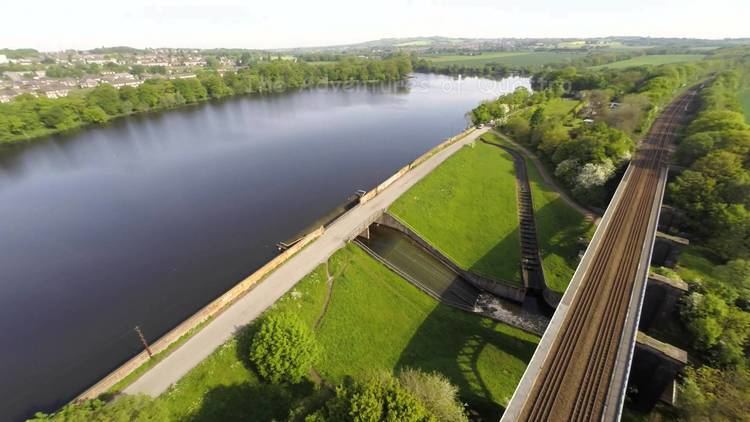
Carr Mill Dam is situated north of St Helens town centre, on the A571 (Carr Mill Road), in Merseyside. It is the county's largest body of inland water, and offers picturesque lakeside trails and walks, as well as national competitive powerboating and angling events. It is home of Lancashire Powerboat Racing Club established in 1923 where club, national and international powerboat racing takes place.
Map of Carr Mill Dam, Billinge, Saint Helens, UK
Once simply a mill pond built to power Carr’s Mill, this was hugely expanded in the 1750s to provide water to the Sankey Navigation, (Sankey Canal), about a mile away. The lake is a firm favourite, busy with anglers and water sports enthusiasts. It is also a great place for birdwatchers—herons, great crested grebes, coots and various species of duck and gull can be found here.
The name Carr Mill traditionally came from the Norse word 'Carr' meaning marsh or fen. The dam is shown on the 17th century Yates map. A corn mill was operating there in the 19th century as it is visible on the first Ordnance survey map of the area, the dam having been doubled in size. There is no record of anyone named Carr having a mill there. The land belonged to the Gerard family and a lease exists detailing the permissions and extent of use (St. Helens Archives). The dam was further enlarged by the London and North Western Railway during development of the railway system and cast iron marker posts are still visible at two points around the dam.
Carr Mill Dam is also the location of St. Helens' only ancient woodland running alongside the railway line.