
Agency executive Eoin Moran, Director | ||
 | ||
Formed 1936; 81 years ago (1936) Preceding Agency British Meteorological Office(1880-1936) Minister responsible , Simon Coveney TD, Minister for Housing, Planning, Community and Local Government | ||
Met Éireann ([mʲɛtʲ ˈeːrʲən̪ˠ], meaning "Met of Ireland") is the national meteorological service in Ireland, part of the Department of Housing, Planning, Community and Local Government.
Contents
History
The history of modern meteorology in Ireland dates back to 8 October 1860, when the first weather observations were transmitted from Valentia Observatory on Valentia Island in County Kerry to the British Meteorological Office. A network of weather stations was established around the coasts of the United Kingdom of Great Britain and Ireland.
Following Irish independence in 1922, the Irish Free State continued to rely on the British Met Office for weather services, and the Met Office continued to administer the weather stations around Ireland. With the advent of transatlantic air services in the 1930s, it was decided that Ireland needed its own weather service to provide detailed aviation weather reports.
In 1936, the Irish Meteorological Service was set up with its headquarters in St. Andrew's Street, Dublin. In 1937 it took over the network of weather stations from the British Met Office. On the date of transfer, the Irish weather observation network consisted of the following stations:
At first, the new weather service was bolstered by Met Office employees seconded from London, but by 1941 they were able to depend on their own resources. During the Emergency (as the Second World War was referred to in neutral Ireland), the Irish Meteorological Service supplied the Allies with weather information despite Ireland's neutrality. The decision to go ahead with the D-day landings was made following a favourable weather report from the Blacksod Point weather station in County Mayo.
The service expanded rapidly in the post-war years, with its headquarters relocating to O'Connell Street, opposite the Gresham Hotel in Dublin. The service began supplying forecasts to Radio Éireann from 1948, to daily newspapers from 1952, to television from shortly after the first Raidió Teilifís Éireann television broadcasts in 1962, and recorded telephone forecasts in the 1960s. Ireland joined the World Meteorological Organisation in the 1950s, and was a founder member of the European Centre for Medium-Range Weather Forecasts in 1975 and EUMETSAT in 1983.
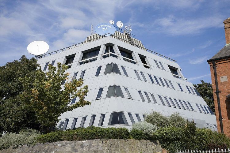
In 1979, the service moved to new purpose-built premises in Glasnevin, Dublin, and in 1996 it was renamed to Met Éireann.
Forecasting methodology
Met Éireann uses the HIRLAM weather model for short-term forecasts (up to 48 hours). This model is developed cooperatively by multiple European weather services. Met Éireann runs a 10 km resolution HIRLAM model four times daily. The operational running of this model has been managed by ICHEC since 2005. Met Éireann and ICHEC are working on bring a 5 km resolution HIRLAM model into production by the end of 2010.
For medium-term forecasts (between 48 hours and 7 days), Ireland, along with 17 other European countries, relies on forecasts provided by the European Centre for Medium-Range Weather Forecasts in the United Kingdom.
Observing stations
The service also runs many more automated observation stations around the country, including –
Aviation forecasting
As Ireland is strategically located on the busy air routes between North America and Europe, aviation forecasting is an important part of Met Éireann's work. In 2005, the service received payments of €7.8 million from the Eurocontrol air traffic control authority. Aviation weather offices are located at Casement Aerodrome, Cork Airport, Dublin Airport, Ireland West Airport Knock and Shannon Airport.
As of 2009, the director of Met Éireann is Liam Campbell. According to the Met Éireann annual report for 2005, the service had a budget of €20.6 million for that year.
Glamour
Met Éireann's female weather presenters are noted for appearing on television in less conservative clothing. Viewers have addressed numerous complaints about the attire of these female weather presenters, with one stating that the televised weather forecasts reports are more "glamour orientated" than focused on the weather and another stating: “One can hardly believe that we are having the coldest weather at the moment by the way the female presenters are dressed. It looks so ridiculous.”