
Elevation 1,644 ft (501 m) Length 13 mi (21 km) NE by SW | Prominence Mesquite Mountain Country United States | |
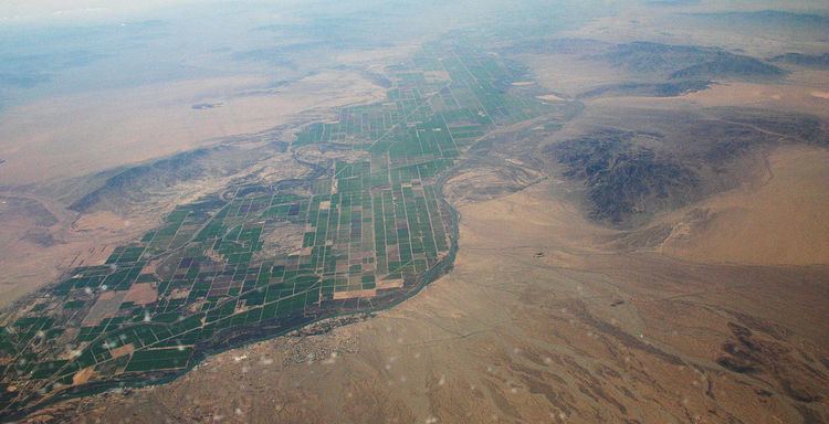 | ||
regions (northwest)-Sonoran DesertParker Valley & Lower Colorado River Valley | ||
The Mesquite Mountains (Arizona) of western Arizona, along the east side of Parker Valley in the Lower Colorado River Valley is a small, lower elevation 13-mi (21 km) long mildly arced-shaped mountain range.
Map of Mesquite Mountain, Arizona 85371, USA
The range is an extension of the range abutting it south-southwestwards, the Dome Rock Mountains. Bouse Wash drains the plains to the east of the two ranges (the La Posa Plain), and the Bouse Wash turns into the Colorado River Valley (Parker Valley), by rounding the north terminus of the Mesquite Mountains.
The highpoint of the range is Mesquite Mountain, at the center-south of the range.
References
Mesquite Mountains (Arizona) Wikipedia(Text) CC BY-SA