
Canton Forges-les-Eaux Local time Sunday 5:07 PM | Region Normandy Area 8.28 km² | |
 | ||
Weather 12°C, Wind W at 29 km/h, 70% Humidity | ||
Mesnil-Mauger is a commune in the Seine-Maritime department in the Haute-Normandie region in northern France.
Contents
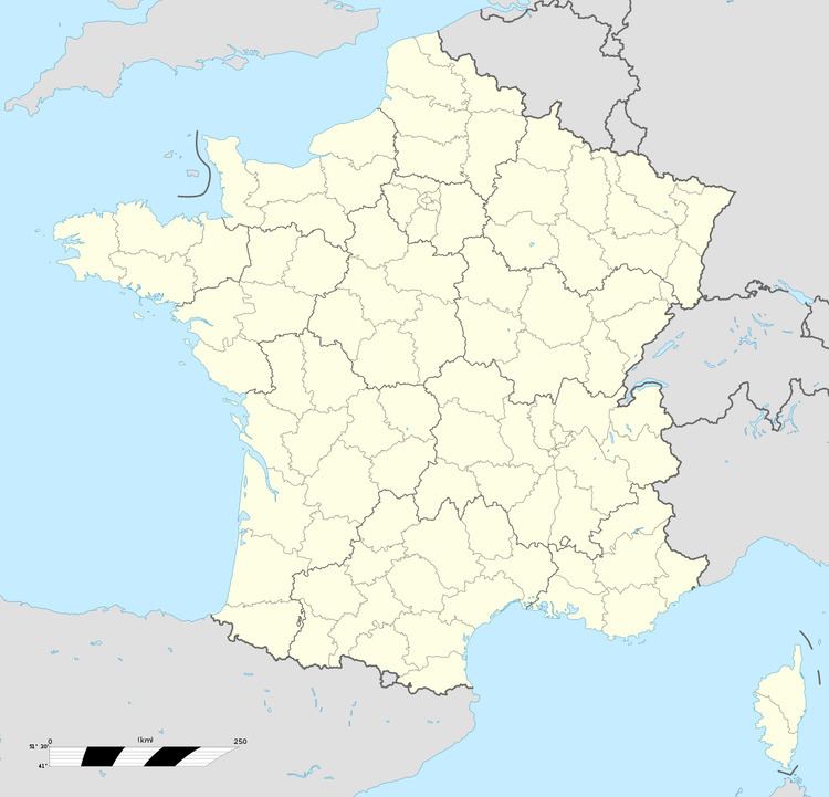
Map of 76440 Mesnil-Mauger, France
Geography
A farming village situated by the banks of the Béthune River in the Pays de Bray, some 32 miles (51 km) southeast of Dieppe at the junction of the D120, the D102 and the D1314 roads.
Places of interest
References
Mesnil-Mauger Wikipedia(Text) CC BY-SA