
Elevation 4 m (13 ft) Area 30.96 km² Population 777 (31 Dec 2008) Dialling code 033332 | Time zone CET/CEST (UTC+1/+2) Local time Sunday 4:14 PM Postal code 16307 | |
 | ||
Weather 4°C, Wind S at 16 km/h, 73% Humidity | ||
Vyacheslav mescherin orchestra popcorn
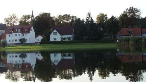
Mescherin is a municipality in the Uckermark district, in Brandenburg, Germany. It is located on the western shore of the Oder river which is the international border to Poland since 1945.
Contents
- Vyacheslav mescherin orchestra popcorn
- Map of Mescherin Germany
- Vyacheslav mescherin ensemble s t full album easy listening electronic 1978 russia ussr
- Overview
- References
Map of Mescherin, Germany
Vyacheslav mescherin ensemble s t full album easy listening electronic 1978 russia ussr
Overview
A road bridge links Mescherin with the Polish-Pomeranian town of Gryfino (Greifenhagen) across the river. The nearest city is Szczecin (Stettin), about 20 km to the north. Mescherin is located on the northern edge of Lower Oder Valley National Park.
On December 31, 2002, the municipalities of Neurochlitz, Radekow and Rosow were incorporated into Mescherin. In Rosow, a 13th-century church serves as a joint German-Polish memorial site for the Flight and expulsion of Germans during and after World War II and the resettlement of Poles from Soviet-occupied Polish territory into eastern German provinces which became Polish in 1945. Rosow was chosen as the Pomeranian village became a border checkpoint of both the federal highway Bundesstraße 2 and the Berlin-Szczecin railway.