
Width 3 km (1.9 mi) Highest point Mesøytoppen Area 8 km² | Length 4.5 km (2.8 mi) Highest elevation 364 m (1,194 ft) | |
 | ||
Br drene berbusmel p mes ya juli 2016
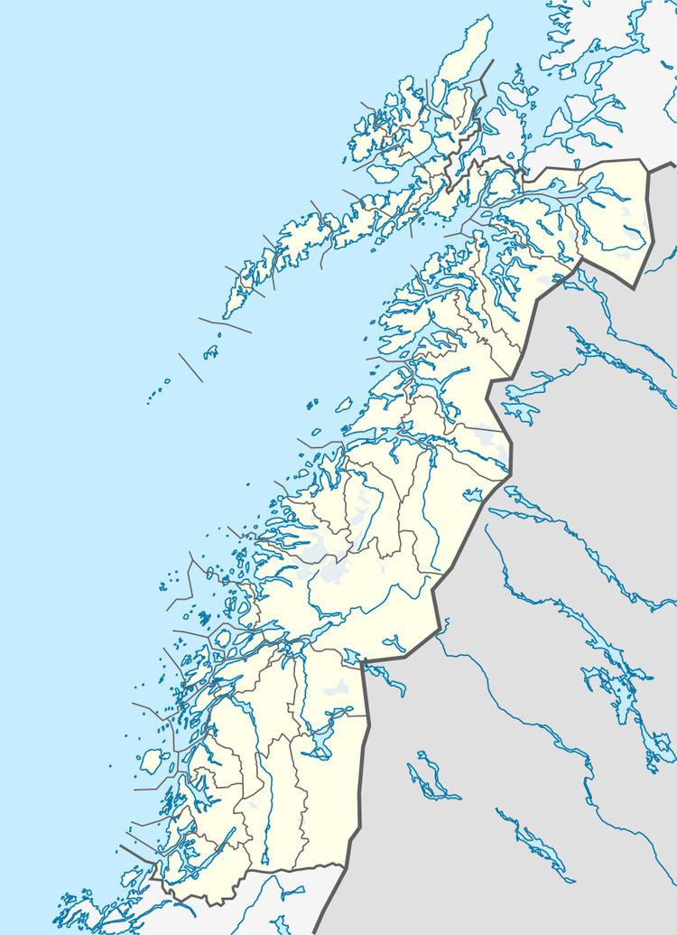
Mesøya or Mesøy is an island in the municipality of Meløy in Nordland county, Norway. The island is located southwest of the village of Ørnes on the mainland and east of the island of Meløya. The island sits at the mouth of the Glomfjorden. Mesøya is only accessible by boat, and it has no regular ferry service. Mesøya has an area of 8 square kilometres (3.1 sq mi) and the highest point on the island is the 364-metre (1,194 ft) tall Mesøytoppen.
Contents
Map of Mesoya, 8150 %C3%98rnes, Norway
References
Mesøya Wikipedia(Text) CC BY-SA