
PIN 825317 Local time Sunday 7:38 PM Area code 06546 | Time zone IST (UTC+5:30) Telephone code 06546 Population 7,780 (2011) | |
 | ||
Weather 18°C, Wind E at 5 km/h, 68% Humidity | ||
Meru is a census town in Hazaribagh (community development block) of Hazaribagh district in the Indian state of Jharkhand. It is located on the Hazaribagh- Bagodar road (National Highway 100).
Contents
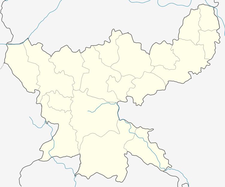
Map of Meru, Jharkhand 825317
Geography
It is located at 24°1′46″N 85°27′26″E.
Demographics
As per 2011 Census of India Meru had a population of 7,780. There were 4,740 males and 3,040 females. Scheduled Castes numbered 957 and Scheduled Tribes numbered 31.
As of 2001 India census, Meru had a population of 8,547. Males constitute 66% of the population and females 34%. Meru has an average literacy rate of 75%, higher than the national average of 59.5%: male literacy is 86%, and female literacy is 55%. In Meru, 12% of the population is under 6 years of age.
Literacy
As per 2011 census the total number of literates in Meru was 5,914 out of which 3,992 were males and 1,922 were females.
BSF centre
Meru has a BSF training centre and school for advance training of counter insurgency, counter terrorism and bomb disposal.