
Time zone CET/CEST (UTC+1/+2) Area 3.2 km² Postal code 54426 Dialling code 06504 | Elevation 280 m (920 ft) Postal codes 54426 Local time Sunday 2:14 PM Population 46 (31 Dec 2008) | |
 | ||
Weather 12°C, Wind W at 26 km/h, 91% Humidity | ||
Merschbach is an Ortsgemeinde – a municipality belonging to a Verbandsgemeinde, a kind of collective municipality – in the Bernkastel-Wittlich district in Rhineland-Palatinate, Germany.
Contents
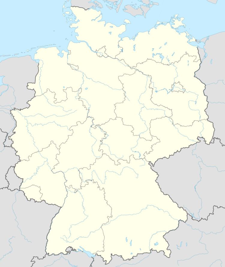
- Map of Merschbach Germany
- Location
- History
- Population development
- Municipal council
- Buildings
- Natural monuments
- References
Map of Merschbach, Germany
Location
The municipality lies in the Dhron valley in the Hunsrück. Merschbach belongs to the Verbandsgemeinde of Thalfang am Erbeskopf, whose seat is in the municipality of Thalfang.
History
In 1281, Merschbach, which at the time was held by the Counts of Hunolstein, had its first documentary mention. As a result of the turmoil of the French Revolution, Merschbach lay under French rule beginning about 1800. In 1814 it was assigned to the Kingdom of Prussia at the Congress of Vienna. Since 1947, it has been part of the then newly founded state of Rhineland-Palatinate.
Population development
Since the 1970s, the municipality’s population has shrunk markedly. While Merschbach still had 104 inhabitants in 1970 when the Verbandsgemeinde of Thalfang am Erbeskopf was founded, by March 2009, there were only 61.
Municipal council
The council is made up of 6 council members, who were elected by majority vote at the municipal election held on 7 June 2009, and the honorary mayor as chairwoman.
Buildings
Merschbach has at its disposal a small chapel.
Natural monuments
Among the municipality’s natural monuments are a limetree and an oak.