
Mouth elevation 0 | ||
 | ||
- left Russell Creek (Victoria), Sawpit Creek - location Picketing Point, near Warrnambool | ||
Phantom 3 first flight merri river warrnambool vic australia
The Merri River, a perennial river of the Glenelg Hopkins catchment, is located in the Western District of Victoria, Australia.
Contents
- Phantom 3 first flight merri river warrnambool vic australia
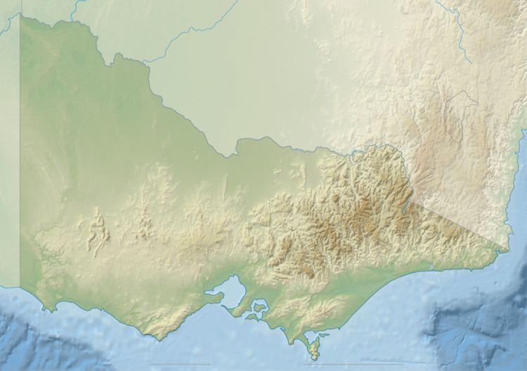
- Map of Merri River Victoria Australia
- Course and features
- Etymology
- References
Map of Merri River, Victoria, Australia
Course and features
Formed by the confluence of the Spring Creek and Drysdale Creek, the Merri River rises below Bushfield and flows generally south joined by two minor tributaries before reaching its mouth and emptying into Stingray Bay, part of the Southern Ocean, near the city of Warrnambool. The river descends 29 metres (95 ft) over its 31-kilometre (19 mi) course.
Etymology
The river derives its name from an Aboriginal word meaning "rocky".
References
Merri River Wikipedia(Text) CC BY-SA