
Population 128 (2011 census) Meringur Werrimull Postal code 3496 | Postcode(s) 3496 Local time Sunday 9:01 PM | |
 | ||
Weather 28°C, Wind SE at 10 km/h, 32% Humidity | ||
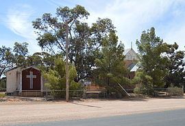
Meringur is a farming settlement to the west of Mildura in northwestern Victoria, Australia. At the 2011 census, Meringur and the surrounding area had a population of 128. It is located in the Millewa region at the end of the Red Cliffs-Meringur Road towards the South Australian border.
Map of Meringur VIC 3496, Australia
The Post Office opened on 2 February 1926. The railway opened in 1925, and the station had facilities to handle passengers, sheep and grain. The line was extended to Morkalla in 1931, but the extension closed in 1965. The entire line was closed by 1988.
The Millewa Pioneer Forest and Historical Village open-air museum is in Meringur.
Meringur had an Australian Rules football team competing in the Millewa Football League, although in recent years the team was based in Mildura, It went into recess in 2011 due to lack of players but has since reformed.