
PIN 673 524 Area 23.41 km² | Time zone IST (UTC+5:30) Vehicle registration KL-56 Local time Sunday 9:22 AM | |
 | ||
Weather 29°C, Wind N at 5 km/h, 69% Humidity | ||
Meppayur (Malayalam: മേപ്പയ്യൂര്) is an important place and town in Kozhikode district of Kerala state, South India.
Contents
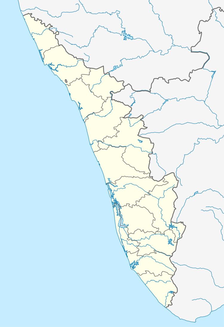
- Map of Meppayur Kerala
- Villages and desoms
- Demographics
- Politics
- Location
- Etymology
- Temples
- Colleges and post metric institutions
- Former presidents
- Places of interest
- How to reach there
- Railway stations
- Nearest towns
- Transportation
- References
Map of Meppayur, Kerala
Villages and desoms
There are two villages, Meppayur and Kozhukkallur. Meppayur Panchayath was formed in 1963.
Desams include Meppayur, Keezhpayur, Changaravelly, Kayalad, Narakkode, Nidumpoyil, Chavatta, Kozhukkallur, Elampilad, and Vilayattur
Demographics
As of the 2011 India census Meppayur panchayath had a population of 12914 males and 13833 females, for a total of 26747, in 5531 households.
Politics
Meppayur is one of the noted cultural and political areas in Malabar. Earlier, Meppayur assembly constituency was part of Vatakara (Lok Sabha constituency). At the time of delimitation Meppayur LAC, was renamed as Kuttiady LAC. Mepapyur and Cheruvannur panchayaths were added to Perambra LAC.
Location
Meppayur area is situated between kottappuzha (Kuttiadippuzha) and Nelliadipuzha. Meppayur town is about 10 km away from NH 17 and 12 km away from Koyilandy Railway station.
Etymology
Meppayur the capital and the clear centre of "OORU" named places. i.e., Thurayur (Thurayooru), Kozhukkallur (Kozhokkallooru), Keezhariyur, Naduvathur, Kalpathur, Cheruvannur, Keezhpayyur, Meppayyur, Ramallur, etc. the nearest places. Naduvannur, Karuvannur, Velliyur, Maniyur, Cherandathur, Keezhur etc. the surroundings.
Temples
There are many temples (Saiva, Vaishnava, Devi, and others), mosques and Guruthi (Gurusi) kendras here.
Colleges and post-metric institutions
Schools in Meppayur town:
Former presidents
Places of interest
Important places
How to reach there
Railway stations
Nearest towns
Transportation
Meppayur village connects to other parts of India through Koyilandy town. The nearest airports are at Kannur and Kozhikode. The nearest railway station is at Koyiandy. The national highway No.66 passes through Koyilandy and the northern stretch connects to Goa and Mumbai. The southern stretch connects to Cochin and Trivandrum. The eastern National Highway No.54 going through Kuttiady connects to Mananthavady, Mysore and Bangalore.