
Local time Sunday 9:22 AM | ||
 | ||
Weather 25°C, Wind NE at 3 km/h, 73% Humidity | ||
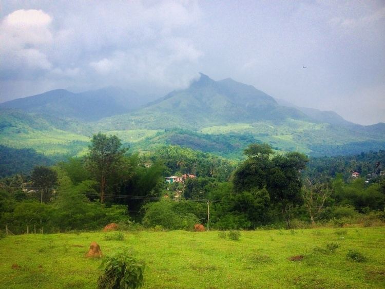
Meppadi (Malayalam: മേപ്പാടി) is a village in the South Indian state of Kerala. It is an extremely scenic hill station on the State Highway between Kozhikode and Ooty. The nearest town is Kalpetta which is the headquarters of the Wayanad revenue district.
Contents
Map of Meppadi, Kerala 673577
Economy
Tea cultivation is the main economic activity of Meppadi village. There are also some vegetable cultivation on small scale. Most of the people living in Meppadi are workers in various tea estates. There is a small town catering to locals and the tourists. The tourists come to enjoy the salubrious climate of the place.
Distance
Meppadi is 12 km from Kalpetta town in the Wayanad District. It is 78 km from Kozhikode (Calicut), 106 km from Ooty, and 281 km from Bangalore.
Tourist attractions
References
Meppadi Wikipedia(Text) CC BY-SA