
Country United States ZIP codes 58558 Elevation 525 m Population 70 (2010) | Time zone Central (CST) (UTC-6) FIPS code 38-52180 Zip code 58558 Local time Saturday 8:36 PM | |
 | ||
Weather 4°C, Wind SE at 23 km/h, 67% Humidity Area 5.794 km² (5.636 km² Land / 16 ha Water) | ||
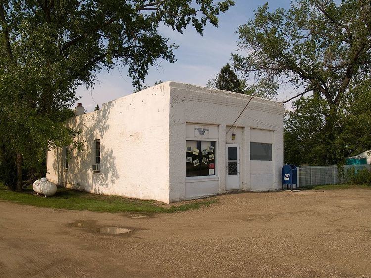
Menoken is a census-designated place (CDP) in southwestern Burleigh County, North Dakota, United States. It was designated as part of the U.S. Census Bureau's Participant Statistical Areas Program on June 10, 2010. It was not counted separately during the 2000 Census, but was included in the 2010 Census, where a population of 70 was reported.
Contents
Map of Menoken, ND 58558, USA
It lies southeast of the city of Bismarck, the county seat of Burleigh County. Its elevation is 1,722 feet (525 m). The community has had many different names, starting with Seventeenth Siding in 1873, then it was soon renamed Blaine for James G. Blaine, U.S. Senator from Maine, then when the post office opened in 1880, the town was renamed Clarke's Farm after C.J. Clarke of Pittsburgh, a local farmer. The town was finally renamed Menoken in 1883, which is an Indian name, but the Northern Pacific Railroad disliked the new name and changed the name of their station in 1891 to Burleigh (a.k.a. Burleigh Station), and the siding still carries this alternate name to this day. Although it is unincorporated, it has a post office, with the ZIP code of 58558.
Climate
This climatic region is typified by large seasonal temperature differences, with warm to hot (and often humid) summers and cold (sometimes severely cold) winters. According to the Köppen Climate Classification system, Menoken has a humid continental climate, abbreviated "Dfb" on climate maps.