
Country United States Time zone CST (UTC-6) Area 120.6 km² Population 5,746 (2010) | Established November 6, 1849 Elevation 185 m Local time Saturday 9:11 AM | |
 | ||
ZIP codes 62301, 62338, 62347, 62360 Weather 3°C, Wind NW at 26 km/h, 66% Humidity | ||
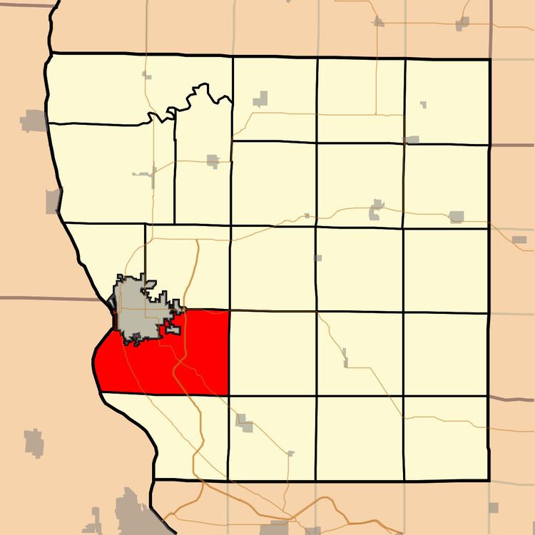
Melrose Township is one of twenty-two townships in Adams County, Illinois, United States. As of the 2010 census, its population was 5,746 and it contained 2,351 housing units. The northwestern part of the township has been separated into Quincy Township.
Contents
- Map of Melrose Township IL USA
- Geography
- Unincorporated towns
- Cemeteries
- Major highways
- Airports and landing strips
- Rivers
- Lakes
- Landmarks
- School districts
- Political districts
- References
Map of Melrose Township, IL, USA
Geography
According to the 2010 census, the township has a total area of 46.55 square miles (120.6 km2), of which 44.57 square miles (115.4 km2) (or 95.75%) is land and 1.98 square miles (5.1 km2) (or 4.25%) is water.
Unincorporated towns
Cemeteries
The township contains four cemeteries: Ehe, Melrose Chapel, Mount Carmel and Saint Anthonys.
Major highways
Airports and landing strips
Rivers
Lakes
Landmarks
School districts
Political districts
References
Melrose Township, Adams County, Illinois Wikipedia(Text) CC BY-SA