
Local time Saturday 12:11 PM | ||
 | ||
Weather 12°C, Wind W at 27 km/h, 91% Humidity | ||
Melksham Without is a civil parish in the county of Wiltshire, England. It surrounds, but does not include, the town of Melksham and is the largest rural parish in Wiltshire, with a population of 7,230 (as of 2011) and an area of 29 square kilometres (7,200 acres).
Contents
Map of Melksham Without, UK
In 1894 the ancient parish of Melksham was divided into Melksham Urban District and the rural parish of Melksham Without. The northern boundary of the parish is the Roman road from Silchester to Bath; downstream from Melksham the Bristol Avon forms the southwestern boundary, and parts of the southern boundary are the Semington Brook and the Kennet and Avon Canal.
The parish includes the villages of Beanacre, Berryfield, Shaw and Whitley, and the hamlets of Outmarsh and Redstocks. It also includes the outer Melksham suburbs of Bowerhill and The Spa, and the dispersed settlement of Sandridge which includes Sandridge Common.
Governance
The Local Government Act of 1894 created the parish of Melksham Without, dividing the ancient parish of Melksham into an urban area (Melksham Within) and a rural area (Melksham Without). The latter consists of the ancient settlements of Beanacre, Shaw and Whitley, surrounding Melksham Within on all sides except the west. Until the 17th century, the area to the east was royal forest, and this part is lightly populated and agricultural. To the south the land was similarly rural but was used for military purposes in the mid-20th century, with RAF Melksham based at Bowerhill, and this area now consists of light industry and housing estates. There is another housing estate separate from the town at Berryfield, to the south.
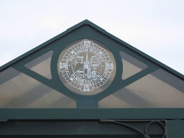
The civil parish elects a parish council. It is in the area of Wiltshire Council unitary authority, which performs most local government functions. Unusually, the parish shares some land in common with the parish of Broughton Gifford. There are two electoral wards, Melksham Without North and South. The northern ward consists of the northern section of the parish together with the parishes of Atworth and Broughton Gifford. The southern ward has the rest of the parish, south of a boundary which mostly follows Clackers Brook, and includes Bowerhill and Berryfield. The total ward population taken at the 2011 census was 8,402.
Transport
A packhorse bridge dating from 1725 spans the River Avon, providing a route (now a public footpath) to Broughton Gifford.
The Kennet and Avon Canal was built in the south of the parish by 1804 and fully opened in 1810. In the same year the Wilts & Berks Canal opened, having been built through the parish from its connection with the K&A near Semington. After passing through the eastern side of Melksham town the canal continued north through the parish towards Chippenham, Swindon and Abingdon. Both canals fell into decline following the arrival of the railways in the 1840s, and the closure of the Somerset Coal Canal (which provided much of their traffic) in 1904.
In 1848 the Wilts, Somerset and Weymouth Railway company built their line through the parish, to link the Swindon-Bath line (near Chippenham) with Westbury via Melksham and Trowbridge; the line was handed over to the Great Western Railway in 1850 and is still in use. From 1905 to 1955 there was a small station, Beanacre Halt, near Beanacre on the road towards Whitley. The Devizes Branch Line was completed in 1857 and also taken over by the GWR, but closed in 1966. It connected with the main line near Holt and passed near Outmarsh, where there was a station, Semington Halt.
Today the Kennet and Avon Canal is a well-used recreational waterway, following its restoration in the 1970s and 1980s and formal re-opening in 1990. The Wilts & Berks Canal was abandoned in 1914 and its route south and east of Melksham has been built over; preservation and restoration efforts began in 1977 and in 2012 a planning application was submitted for a new section of canal (called the Melksham Link) to connect the Semington junction, via Berryfield, with the Avon below Melksham.
The A350 primary route runs north-south through the parish on its section from Chippenham to Melksham and passes through Beanacre. South of Melksham, on its way to Westbury, its original route past Berryfield and Outmarsh was replaced in 2004 by the Semington bypass, about 400m to the east. The new route required the construction of an aqueduct to carry the Kennet and Avon Canal, the New Semington Aqueduct. The Hampton Park West industrial area, between the old and new routes, has the headquarters of Avon Rubber and G Plan Upholstery, and a divisional headquarters of Wiltshire Police.