
Population Uninhabited | ||
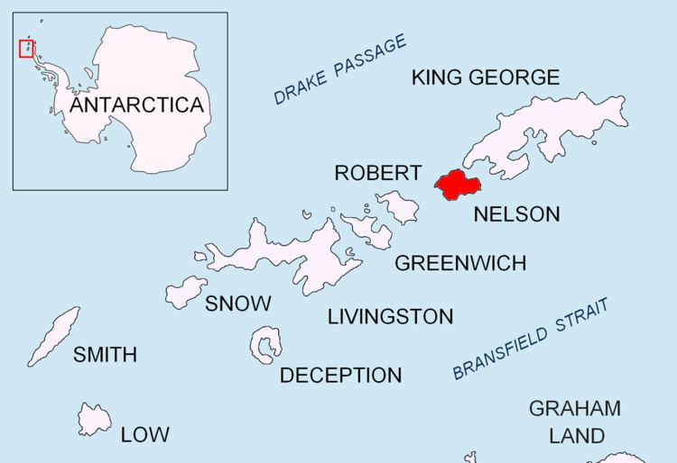 | ||
Meldia Rock (Bulgarian: скала Мелдия, ‘Skala Meldia’ ska-'la 'mel-di-ya) is the rock of diameter 220 m and split in east-west direction, lying off the northwest coast of Nelson Island in the South Shetland Islands, Antarctica. The area was visited by early 19th century sealers.
Contents
Map of Meldia Rock, Antarctica
The rock is named after the ancient Roman station of Meldia in Western Bulgaria.
Location
Meldia Rock is located at 62°15′28.7″S 59°11′21″W, which is 800 m north of Smilets Point, 2.2 km east-northeast of Folger Rock, 3.37 km southwest of Withem Island and 2.43 km west-southwest of Retamales Point. British mapping in 1968.
Maps
References
Meldia Rock Wikipedia(Text) CC BY-SA