
Area 239.6 km² | Time zone BST (UTC+6) | |
 | ||
Melandaha (Bengali: মেলানদহ) is an Upazila of Jamalpur District in the Division of Mymensingh, Bangladesh.
Contents
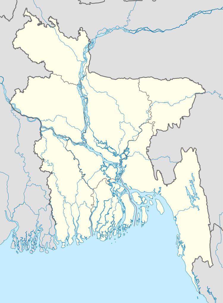
Map of Melandaha, Bangladesh
Geography
Melandaha is located at 24.9667°N 89.8333°E / 24.9667; 89.8333 . It has 55954 households and total area 239.65 km².
Points of interest
Administration
Melandaha has 11 unions/wards, 140 mauzas/mahallas, and 190 villages.
Unions are named as follows:
References
Melandaha Upazila Wikipedia(Text) CC BY-SA