
Local time Saturday 3:36 AM | Province Ulster | |
 | ||
Weather 9°C, Wind W at 26 km/h, 98% Humidity | ||
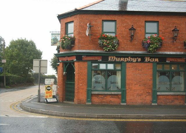
Ireland part 7 in meigh ireland visiting my cousins cows drink run season 3 episode 4
Meigh (from Irish: Maigh/an Mhaigh, meaning "the plain") is a small village and townland near Slieve Gullion in County Armagh, Northern Ireland. It had a population of 444 people in the 2001 Census. It lies within the Newry and Mourne District Council area.
Contents
- Ireland part 7 in meigh ireland visiting my cousins cows drink run season 3 episode 4
- Map of Meigh Newry UK
- plasser theurer legend driver meigh level crossing armagh
- Geography
- Places of interest
- References
Map of Meigh, Newry, UK
plasser theurer legend driver meigh level crossing armagh
Geography
Meigh lies within the Ring of Gullion area of natural beauty, about 7 km southwest of Newry. Nearby villages include Camlough, Dromintee and Jonesborough. Meigh is close to the border between Northern Ireland and the Republic of Ireland.
Meigh began as a cluster of buildings around the crossroads formed by Drumintee Road, Newry Road, Chapel Road and Railway Road. In the 2000s, many new houses and businesses were built.
Places of interest
Slieve Gullion Forest Park
This comprises a courtyard with a large garden and galleries. A mountain trail, suitable for cars and other transport, winds for eight miles throughout the park. The peak of the trail, at 3880 ft, contains megalithic cairns and a lake, with views of the Ring of Gullion, Mourne Mountains and Cooley Mountains.
Teach Mallon Creative Arts
The Slieve Gullion Creative Arts Centre, Teach Mallon, is an attempt to relive and recapture the historic lore of this part of South Armagh. There are music gigs, storytellings and others concerts.
Bell’s Castle
Built in the 19th century from stones taken from the Clonlum Court Tomb, the castle is in a picturesque setting with both arable land and mountain terrain surrounding it. The castle's lore includes stories of ghosts and other paranormal manifestations.