
COSPAR ID 2011-058A Mission duration 3 years (planned) Inclination 19.98° Period 1.7 hours | SATCAT no. 37838 Launch date 12 October 2011 Inclination 19.98° Launch mass 1,000 kg | |
 | ||
Website meghatropiques.ipsl.polytechnique.fr/index.php Similar | ||
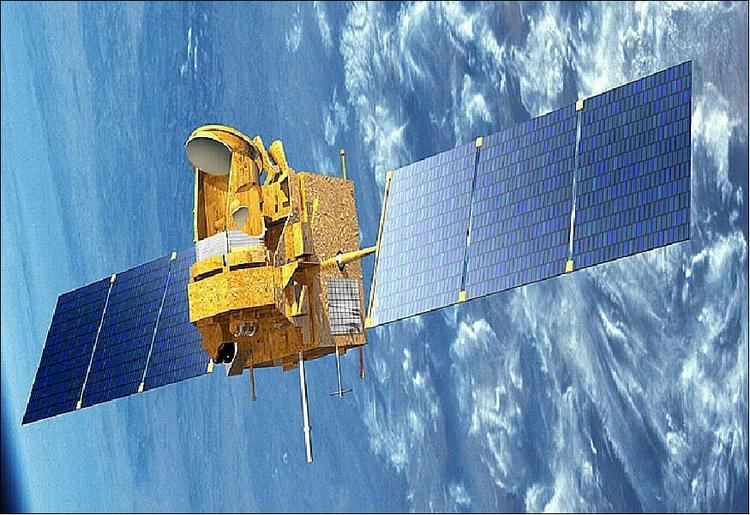
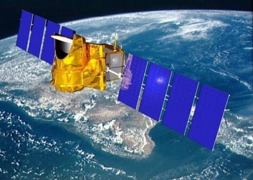
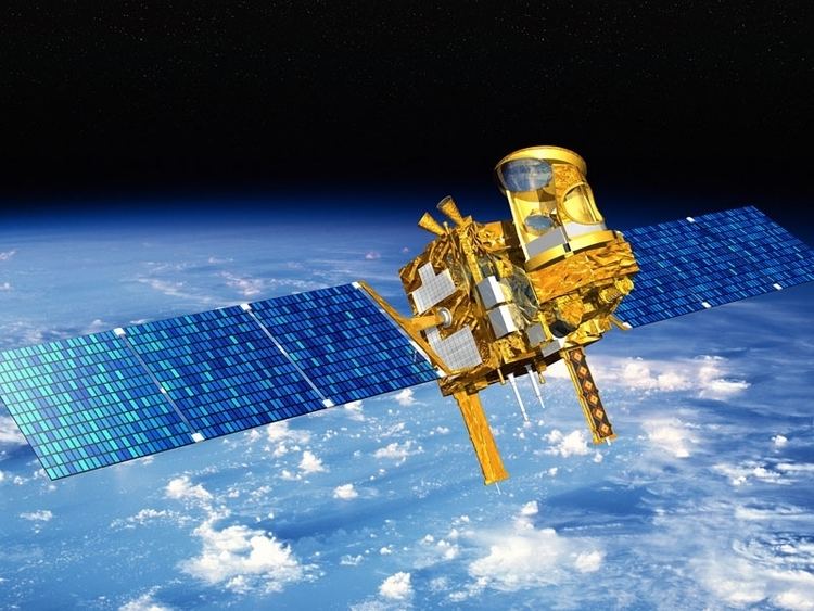
Megha tropiques india france joint weather research satellite
Megha-Tropiques is a satellite mission to study the water cycle in the tropical atmosphere in the context of climate change A collaborative effort between Indian Space Research Organisation (ISRO) and French Centre National d’Etudes Spatiales (CNES), Megha-Tropiques was successfully deployed into orbit by a PSLV rocket in October 2011.
Contents
- Megha tropiques india france joint weather research satellite
- Megha tropiques satellite launch using india s polar satellite launch vehicle pslv c 18
- Design
- Payload
- Launch
- References
Megha-Tropiques was initially scrapped in 2003, but later revived in 2004 after India increased its contribution and overall costs were lowered. With the progress made by GEWEX (Global Energy and Water Cycle Experiment), Megha-Tropiques is designed to understand tropical meteorological and climatic processes, by obtaining reliable statistics on the water and energy budget of the tropical atmosphere. Megha-Tropiques complements other data in the current regional monsoon projects such as MAHASRI and the completed GAME project. Megha-Tropiques also seeks to describe the evolution of major tropical weather systems. The focus will be the repetitive measurement of the tropics.
Megha tropiques satellite launch using india s polar satellite launch vehicle pslv c 18
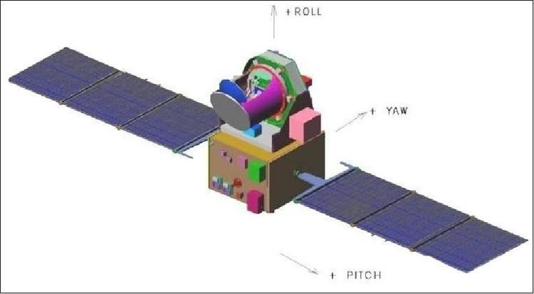
Design
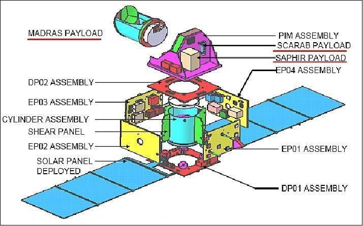
Megha-Tropiques provides instruments that allow simultaneously observation of 3 interrelated components of the atmospheric engine: water vapor, condensed water (clouds and precipitations), and radiative fluxes, facilitating the repetitive sampling of the inter-tropical zone over long periods of time. Its microwave radiometer, Multi-frequency Microwave Scanning Radiometer (MADRAS), complements the radiometers of the other elements of the Global Precipitation Measurement mission.
Payload
Instruments fulfill a complementary role to other on geostationary satellites. In this, microwave instruments are essential.
Launch
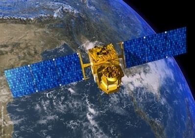
The Megha-Tropiques satellite was successfully placed in an 867 km orbit with an inclination of 20 degrees to the equator by the Indian Space Research Organisation through its Polar Satellite Launch Vehicle (PSLV-C18) on October 12, 2011. The PSLV-C18 was launched at 11:00 am on October 12, 2011 from the first launch pad of the Satish Dhawan Space Centre (SHAR) located in Sriharikota, Andhra Pradesh. The satellite was placed in orbit along with three micro satellites: the 10.9 kg SRMSAT built by the SRM University, Chennai, the 3 kg remote sensing satellite Jugnu from the Indian Institute of Technology Kanpur(IIT Kanpur) and the 28.7 kg VesselSat-1 of Luxembourg to locate ships on high seas.