Vehicle registration OP | Time zone EET (UTC+2) Local time Saturday 12:43 AM | |
 | ||
Weather 1°C, Wind SW at 3 km/h, 87% Humidity Administrative region Eastern Macedonia and Thrace | ||
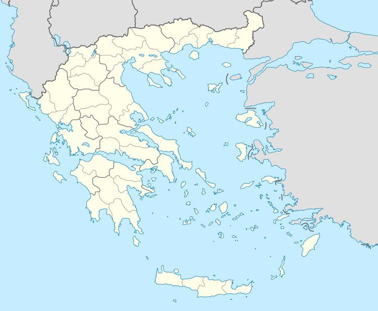
Megali Doxipara (Greek: Μεγάλη Δοξιπάρα) is a village in the municipality of Orestiada in the northern part of the Evros regional unit in Greece. Megali Doxipara is located about 23 km west of the centre of Orestiada. The nearest villages are Doxa to the south, Chandras to the east and Zoni to the west.
Contents
Map of Megali Doxipara 680 06, Greece
History
Before 1913 it was ruled by the Ottomans. The village was known as Dugantzi then. After a brief period of Bulgarian rule between 1913 and 1919, it became part of Greece. As a result its Bulgarian and Turkish population was exchanged with Greek refugees, mainly from today's Turkey.
References
Megali Doxipara Wikipedia(Text) CC BY-SA
