
Elevation 2,640 m Parent range Western Ghats | Mountain range Western Ghats | |
 | ||
Easiest route Kochi --> Adimaly-->Munnar --> meesapulimala
Official Website for Trekking & Room Details http://munnar.kfdcecotourism.com/ Similar Western Ghats, Anamudi, Chembra Peak, Doddabetta, Eastern Ghats | ||
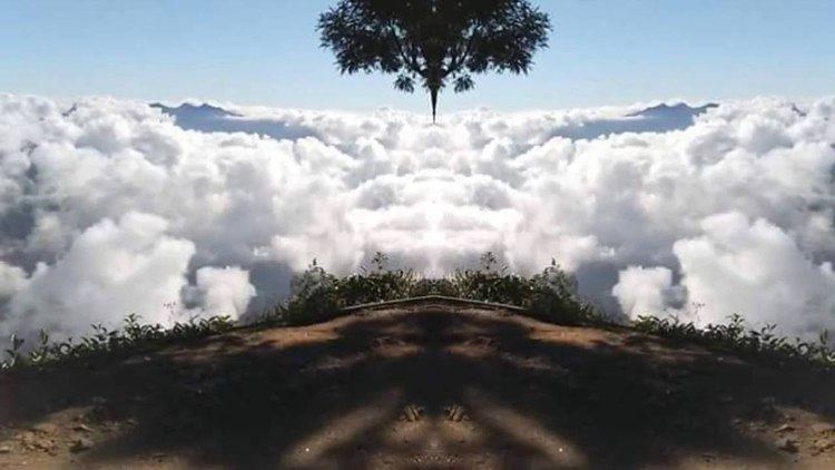
Meesapulimala trekking munnar above the clouds beautiful hiking path in india
Meesapulimala (Malayalam: മീശപ്പുലിമല) is the second highest peak in the Western Ghats on the Indian subcontinent after Anamudi in Idukki District Kerala. Its peak is 2,640 metres (8,661 ft) above sea level.
Contents
- Meesapulimala trekking munnar above the clouds beautiful hiking path in india
- Map of Meesapulimala Kannan Devan Hills Tamil Nadu 685616
- References
Map of Meesapulimala, Kannan Devan Hills, Tamil Nadu 685616
References
Meesapulimala Wikipedia(Text) CC BY-SA