
PIN 673 591 | Time zone IST (UTC+5:30) Telephone code 91 (0)4936 | |
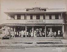 | ||
Waste stored near meenangadi town manorama news
Meenangadi (Malayalam: മീനങ്ങാടി) is a town situated on highway NH 766 between Kalpetta and Sulthan Bathery in Wayanad District, in Kerala, India.
Contents
- Waste stored near meenangadi town manorama news
- Map of Meenangadi Kerala
- Educational institutes in Meenangadi
- Places of worship
- References
Map of Meenangadi, Kerala
The nearest railway station is at Kozhikode at 87Km and airport is Kannur International Airport with 94 km
Meenangadi has a population of 33450 According to 2011 Census.
Educational institutes in Meenangadi
Places of worship
References
Meenangadi Wikipedia(Text) CC BY-SA