Time zone IST (UTC+5:30) Elevation 60 m Local time Friday 7:25 PM | Mandal Medikonduru PIN 522 438 Population 10,046 (2011) | |
 | ||
Weather 31°C, Wind SE at 11 km/h, 55% Humidity | ||
Medikonduru is a village in Guntur district of the Indian state of Andhra Pradesh.
Contents
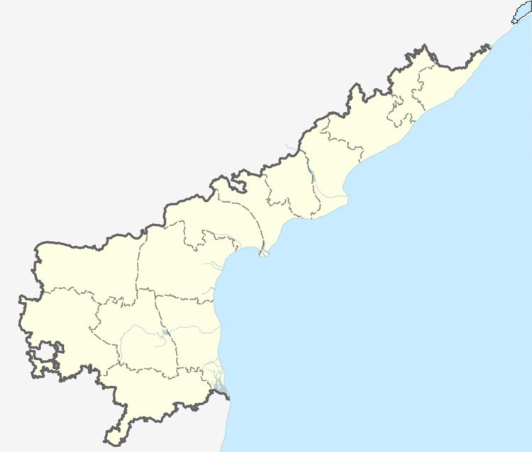
Map of Medikonduru, Andhra Pradesh 522438
Medikonduru is belongs to Andhra region . It is located 17 km towards west from District head quarters Guntur. It is a Mandal head quarter. Medikonduru Pin code is 522438 and postal head office is Medikonduru .
Visadala (2 km) , Dokiparru (3 km) , Mandapadu (6 km) , Siripuram (7 km) , Phirangipuram (7 km) are the nearby Villages to Medikonduru. Medikonduru is surrounded by Phirangipuram Mandal towards South , Pedakurapadu Mandal towards North , Guntur Mandal towards East , Sattenapalle Mandal towards west .
Guntur , Sattenapalle , Narasaraopet , Amaravathi, Mangalagiri, Vijayawada are the nearby Cities to Medikonduru.
Demographics of Medikonduru Telugu is the Local Language here. Total population of Medikonduru is 9570 .Males are 4860 and Females are 4,710 living in 2439 Houses. Total area of Medikonduru is 2146 hectares
Transport
Medikonduru lies on Guntur-Sattenapalle-Hyderabad road. APS RTC operates bus services from Guntur, Sattenapalle and Piduguralla to this region.
