
OS grid NN514397 Elevation 1,039 m Mountain range Grampian Mountains | Topo map OS Landranger 51 Prominence 491 m Parent range Grampian Mountains | |
 | ||
Translation Possibly derived from gairdean (shoulder, hand or arm) (Gaelic) Similar Meall nan Tarmachan, Stuchd an Lochain, Beinn Heasgarnich, Sgiath Chùil, Meall Glas | ||
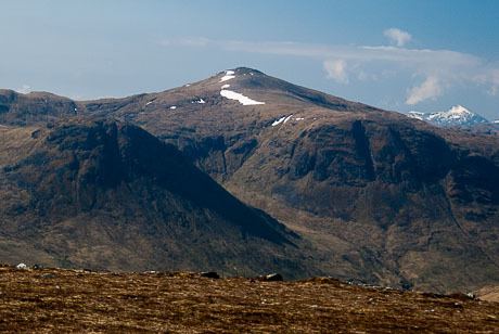
Meall Ghaordaidh is a mountain in the Southern Highlands of Scotland, approximately 10 km north-west of Killin.
Map of Meall Ghaordaidh, Killin, UK
The mountain can be ascended via Glen Lochay starting to the north-west of the Allt Dhùin Croisg near Duncroisk, via an eroded path leading north-west through peat bogs to the summit; alternatively, an ascent can be made from Glen Lyon starting at Stronuich via one of two spurs that lead to the summit (Creag an Tulabhain or Creag Laoghain). The summit is marked by a large circular rock windbreak, within which there is a trig point.
References
Meall Ghaordaidh Wikipedia(Text) CC BY-SA