
Country United States FIPS code 04-43430 Elevation 2,230 m Population 528 (2010) | Time zone MST (UTC-7) GNIS feature ID 0031683 Zip code 85930 Area code Area code 928 | |
 | ||
Area 14.5 km² (14.24 km² Land / 21 ha Water) | ||
McNary (Western Apache: Chaabitoʼ) is a census-designated place (CDP) in Apache and Navajo counties in the U.S. state of Arizona. The population was 528 at the 2010 census. It is a 30-minute drive from Show Low and a 10-minute drive from Pinetop-Lakeside.
Contents
Map of McNary, AZ, USA
Geography
McNary is located at 34°4′36″N 109°51′17″W (34.076687, -109.854674).
According to the United States Census Bureau, the CDP has a total area of 5.6 square miles (14.4 km2), of which 5.5 square miles (14.2 km2) is land and 0.077 square miles (0.2 km2), or 1.30%, is water.
At an elevation of 7,316 feet (2,230 m), it is the second highest community in Arizona after Alpine.
Climate
The climate in this area has mild differences between highs and lows, and there is adequate rainfall year-round. According to the Köppen Climate Classification system, McNary has a marine west coast climate, abbreviated "Cfb" on climate maps.
History
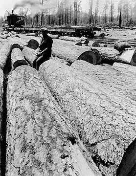
The community was originally named Cluff Cienega after Benjamin Cluff, a Mormon bishop who harvested hay here in 1879 and 1880 for use at Fort Apache. In 1919, the name was changed to Cooley in honor of Corydon Cooley (d. March 18, 1917), a famous Show Low hotelier. In 1924, the land was purchased by the McNary Lumber company and it received its current name.
Demographics
As of the census of 2000, there were 349 people, 91 households, and 73 families residing in the CDP. The population density was 63.5 people per square mile (24.5/km²). There were 101 housing units at an average density of 18.4/sq mi (7.1/km²). The racial makeup of the CDP was 82.81% Native American, 8.31% White, 2.58% Black or African American, 2.87% from other races, and 3.44% from two or more races. 11.17% of the population were Hispanic or Latino of any race.
There were 91 households out of which 63.7% had children under the age of 18 living with them, 44.0% were married couples living together, 31.9% had a female householder with no husband present, and 18.7% were non-families. 16.5% of all households were made up of individuals and 1.1% had someone living alone who was 65 years of age or older. The average household size was 3.84 and the average family size was 4.18.
In the CDP, the age distribution of the population shows 48.7% under the age of 18, 7.4% from 18 to 24, 30.7% from 25 to 44, 9.5% from 45 to 64, and 3.7% who were 65 years of age or older. The median age was 19 years. For every 100 females there were 87.6 males. For every 100 females age 18 and over, there were 86.5 males.
The median income for a household in the CDP was $4,375. Males had a median income of $36,875 versus $18,375 for females. The per capita income for the CDP was $2,917. About 78.9% of families and 86.4% of the population were below the poverty line, including 96.6% of those under age 18 and 100.0% of those age 65 or over.
Education
McNary is served by the McNary Elementary School District, and by the Blue Ridge Junior High School, and Blue Ridge High School in nearby Pinetop-Lakeside.