
Airport type Public 4/22 5,420 Code MMV Phone +1 503-472-0558 | Owner City of McMinnville Elevation AMSL 163 ft / 50 m 5,420 1,652 Elevation 50 m | |
 | ||
Address 4000 Southeast Cirrus Avenue, McMinnville, OR 97128, USA Similar McMinnvi City Hall, Yamhill County Circuit Co, Evergreen Aviation & Space M, Mc Minnville Pretreatm, Mc Minnville Informatio | ||
Cessna 172 landing at mcminnville municipal airport mmv
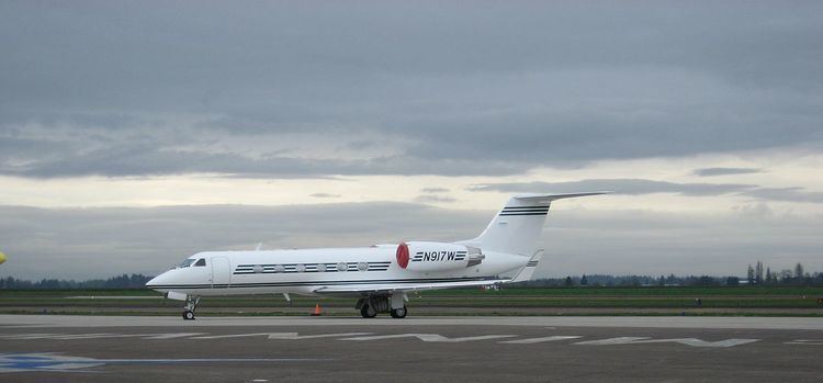
McMinnville Municipal Airport (ICAO: KMMV, FAA LID: MMV) is a city-owned public-use airport located three nautical miles (6 km) southeast of the central business district of McMinnville, a city in Yamhill County, Oregon, United States. According to the FAA's National Plan of Integrated Airport Systems for 2009–2013, it is categorized as a general aviation facility.
Contents
McMinnville Municipal Airport location, on Oregon Route 18, serves as the home to Evergreen Aviation & Space Museum. The Museum is home to the Hughes H-4 Hercules or Spruce Goose.
Although many U.S. airports use the same three-letter location identifier for the FAA and IATA, this facility is assigned MMV by the FAA but has no designation from the IATA.
Facilities and aircraft
McMinnville Municipal Airport covers an area of 650 acres (260 ha) at an elevation of 163 feet (50 m) above mean sea level. It has two asphalt paved runways: 4/22 is 5,420 by 150 feet (1,652 x 46 m) and 17/35 is 4,340 by 75 feet (1,323 x 23 m).
For the 12-month period ending January 16, 2009, the airport had 63,500 aircraft operations, an average of 173 per day: 98% general aviation and 2% military. At that time there were 132 aircraft based at this airport: 66.7% single-engine, 8.3% multi-engine, 3.8% jet, 8.3% helicopter and 12.9% glider.