
Population 282 (2006 census) Elevation 0 cm Local time Friday 8:07 AM | Postcode(s) 3874 Mean max temp Mean min temp Postal code 3874 | |
 | ||
Weather 13°C, Wind W at 6 km/h, 74% Humidity | ||
McLoughlins Beach is a small settlement in South Gippsland, Victoria. It has an estimated permanent population of less than 300 and a number of holiday houses.
Contents
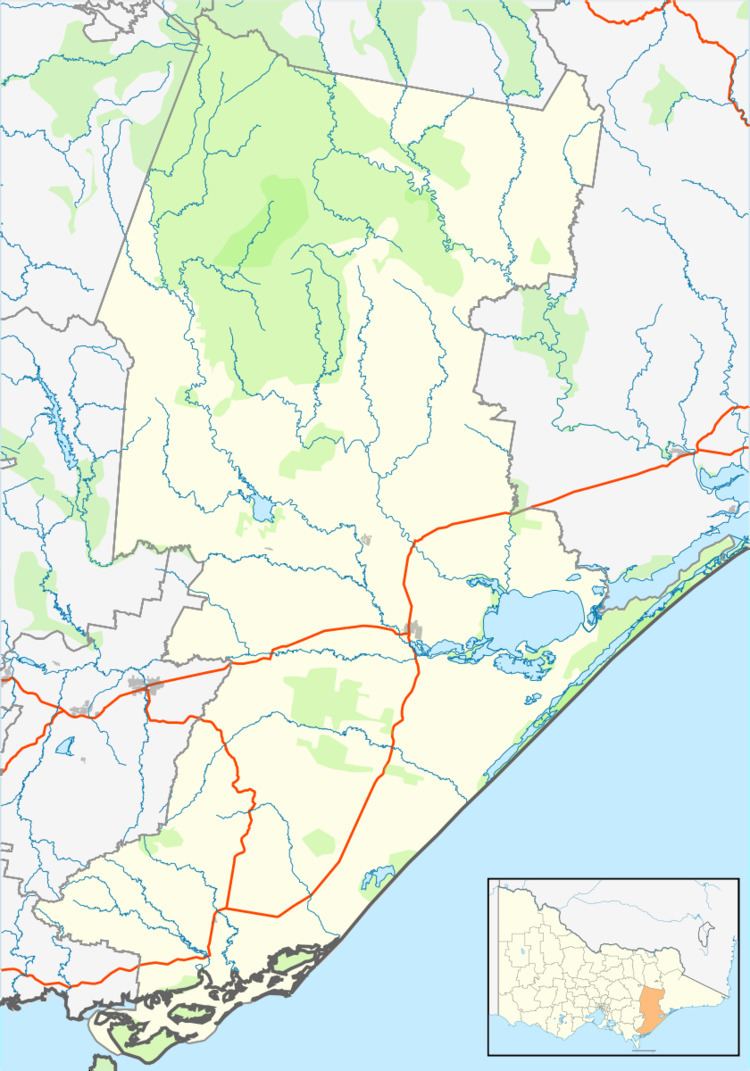
Map of Mcloughlins Beach VIC 3874, Australia
History
The first inhabitants of the broader area were the Kurnai Aboriginal people. Within the Kurnai people were the Brataulung people who inhabited the forests and coasts around McLoughlins Beach area for thousands of years. They used the waterways as a source of fish and shellfish. Like other nearby coastal towns, McLoughlins Beach is thought have Aboriginal heritage values of significance, although comprehensive studies of the area in this regard have been limited.
European development of the area began in the early 1920s when the original jetty was built. This jetty existed until the 1960s. During this time McLoughlins Beach was a popular fishing village. The current jetty was built in 1967 and the footbridge which gives access to Ninety Mile Beach was built in 1972.
Recreation
McLoughlins Beach provides opportunities for estuary, offshore and surf fishing. Facilities that assist with fishing include a boat ramp, a jetty and a footbridge that provides walking access to Ninety Mile Beach. Local authorities do not recommend swimming at Ninety Mile Beach here. The nearest beach patrolled during the summer months is at Woodside Beach. Walks in the area include a one kilometre return walk along the jetty and boardwalk and a 20 kilometre return walk from McLoughlins Point to Reeves Beach. McLoughlins Beach also has a picnic shelter, playground, public toilets, postal box and public telephone.
Environment
Located near the western end point of Ninety Mile Beach McLoughlins Beach sits on a slight elevation largely surrounded by waterways and mud flats.
Next to and partly surrounding the township is the 29 800 ha Nooramunga Marine and Coastal Park. This park has a number of threatened species including the little tern, the white-bellied sea eagle, Lewin's rail, ground parrot (Pezoporus wallicus), swamp skink (Egernia coventryi) and the great egret.