
Country United States County Clinton Time zone Eastern (EST) (UTC-5) Elevation 176 m Population 598 (2010) | State Pennsylvania FIPS code 42-46112 Zip code 17748 Local time Thursday 12:14 PM | |
 | ||
Weather 1°C, Wind W at 26 km/h, 45% Humidity Area 3.704 km² (3.471 km² Land / 23 ha Water) | ||
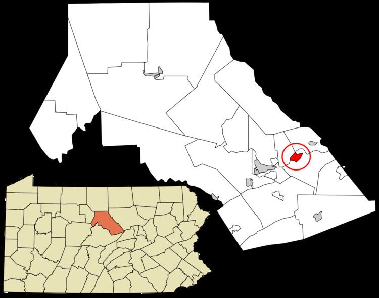
McElhattan is a census-designated place (CDP) in Wayne Township in southern Clinton County, Pennsylvania, United States. As of the 2010 census the population was 598.
Map of McElhattan, PA 17745, USA
The community is located in eastern Clinton County and is bordered to the northwest by the West Branch of the Susquehanna River and to the southeast by U.S. Route 220, a four-lane freeway. The southwestern part of the CDP includes the area known as Youngdale. US 220 leads west 6 miles (10 km) to the city of Lock Haven, the Clinton County seat, and northeast 7 miles (11 km) to the borough of Jersey Shore. Bridge Road crosses the West Branch, connecting McElhattan with Dunnstable Township to the northwest.
References
McElhattan, Pennsylvania Wikipedia(Text) CC BY-SA