
Country United States FIPS code 36-44127 Elevation 526 m Population 886 (2010) Area code 607 | State New York Time zone Eastern (EST) (UTC-5) GNIS feature ID 0979178 Zip code 13801 Local time Thursday 11:59 AM | |
 | ||
Weather -4°C, Wind NW at 31 km/h, 55% Humidity Area 102.6 km² (101 km² Land / 155 ha Water) | ||
McDonough is a town in Chenango County, New York, United States. The population was 886 at the 2010 census. The town is named after Thomas Macdonough, a naval officer who served on Lake Champlain and other locations. McDonough is located in the western part of Chenango County, west of Norwich.
Contents
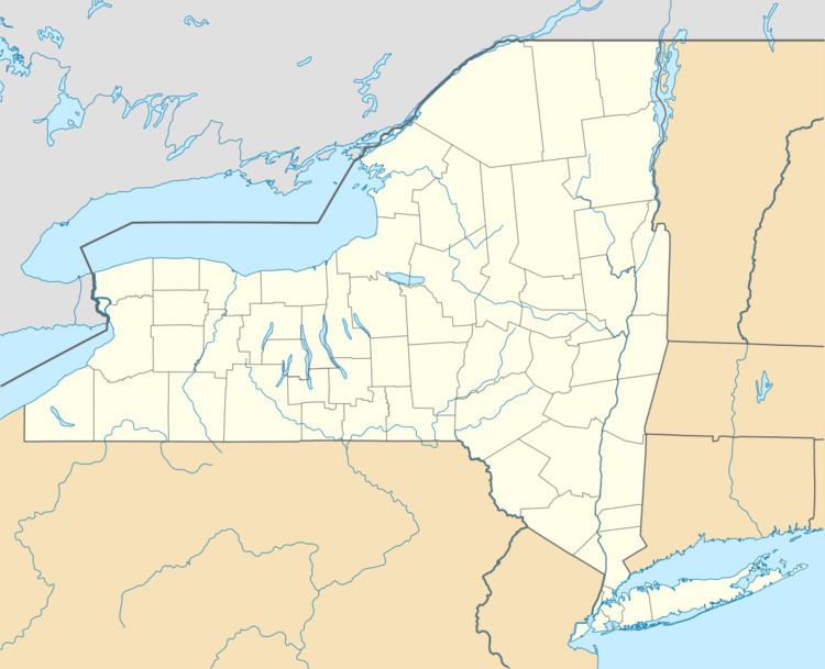
- Map of McDonough NY 13801 USA
- History
- Geography
- Demographics
- Communities and locations in McDonough
- Local businesses
- References
Map of McDonough, NY 13801, USA
History
The land was settled around 1795 by Sylvanius Moore. The town of McDonough was founded in 1816 from part of the town of Preston.
Calvary Episcopal Church was listed on the National Register of Historic Places in 1998.
Geography
According to the United States Census Bureau, the town has a total area of 39.6 square miles (102.6 km2), of which 39.0 square miles (101.1 km2) is land and 0.58 square miles (1.5 km2), or 1.50%, is water. The water area comes from several small lakes in the town, including Genegantslet Lake, Bowman Lake, and Lake Ludlow.
New York State Route 220 is a highway following a meandering course through the town, leading southeast to Oxford and southwest to Smithville Flats.
Demographics
As of the census of 2000, there were 870 people, 349 households, and 248 families residing in the town. The population density was 22.2 people per square mile (8.6/km²). There were 590 housing units at an average density of 15.1 per square mile (5.8/km²). The racial makeup of the town was 96.09% White, 1.26% African American, 0.34% Native American, 0.34% Asian, 0.11% from other races, and 1.84% from two or more races. Hispanic or Latino of any race were 2.53% of the population.
There were 349 households out of which 28.4% had children under the age of 18 living with them, 59.9% were married couples living together, 6.6% had a female householder with no husband present, and 28.7% were non-families. 23.2% of all households were made up of individuals and 10.9% had someone living alone who was 65 years of age or older. The average household size was 2.49 and the average family size was 2.93.
In the town, the population was spread out with 22.3% under the age of 18, 8.5% from 18 to 24, 27.0% from 25 to 44, 26.3% from 45 to 64, and 15.9% who were 65 years of age or older. The median age was 40 years. For every 100 females there were 101.9 males. For every 100 females age 18 and over, there were 101.8 males.
The median income for a household in the town was $29,402, and the median income for a family was $33,125. Males had a median income of $26,974 versus $19,231 for females. The per capita income for the town was $15,558. About 7.7% of families and 9.8% of the population were below the poverty line, including 10.8% of those under age 18 and 12.1% of those age 65 or over.