
Country India Area 631 km² | Time zone IST (UTC+5:30) Vidhan Sabha constituency Maynaguri | |
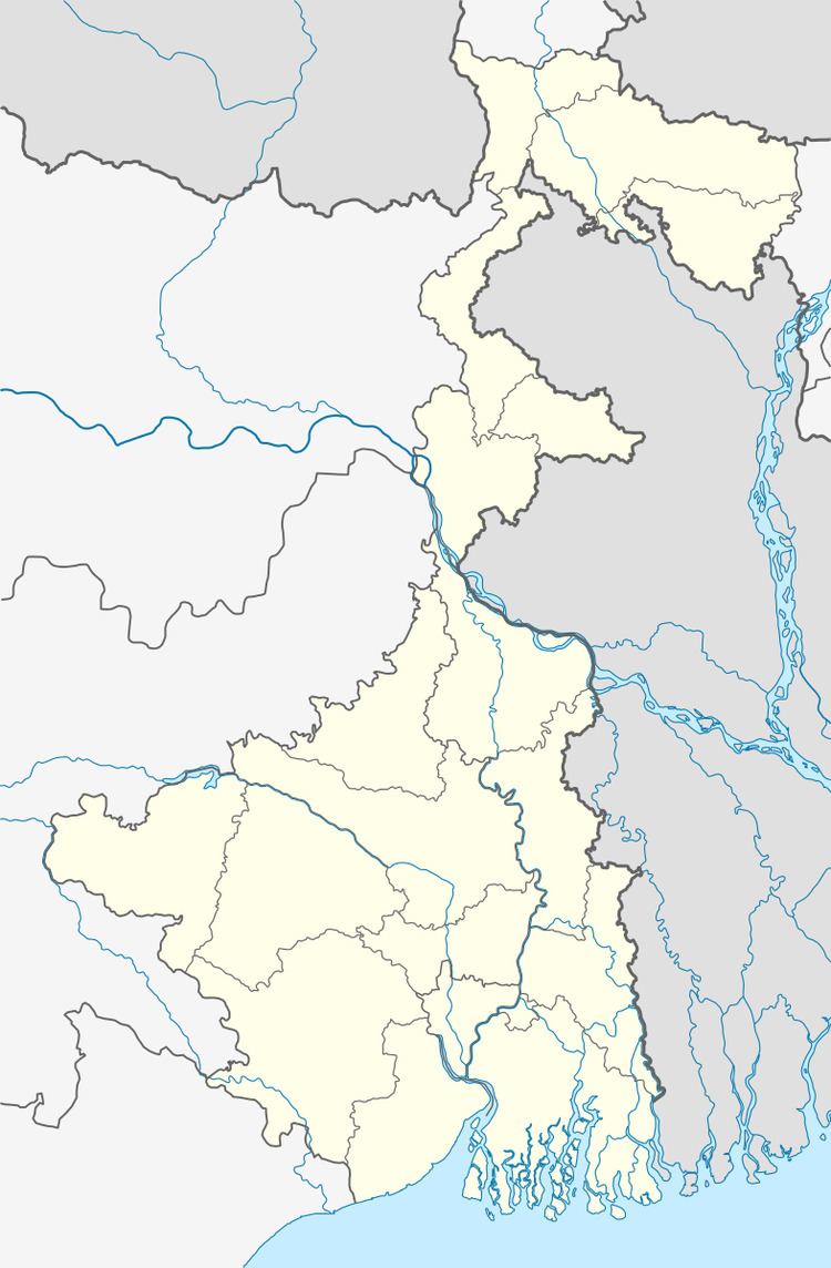 | ||
Maynaguri (community development block) is an administrative division in Jalpaiguri Sadar subdivision of Jalpaiguri district in the Indian state of West Bengal. Maynaguri police station serves this block. Headquarters of this block is at Mainaguri, a census town in this block:
Contents
Geography
Mainaguri is located at 26°34′N 88°49′E.
Maynaguri community development block has an area of 631.04 km2.
Gram panchayats
Gram panchayats of Maynaguri block/ panchayat samiti are: Amguri, Barnesh, Churabhandar, Dharmapur, Domohani I, Domohani II, Khagrabari I, Khagrabari II, Madhabdanga I, Madhabdanga II, Maynaguri, Padamati I, Padamati II, Ramsai, Saptibari I and Saptibari II.
Demographics
As per 2011 Census of India Maynaguri CD Block had a total population of 329,032 of which 291,073 were rural and 37,959 were urban. There were 170,030 males and 159,002 females. Scheduled Castes numbered 234,287 and Scheduled Tribes numbered 4,328.
Literacy
As per 2011 census the total number of literates in Maynaguri CD Block was 217,359, out of which 121,785 were males and 95,574 were females.
Transport
NH 31 passes through the block.