
Intercommunality Delta-Sèvre-Argent Area 120.6 km² | Canton Mauléon Time zone CET (UTC+1) Population 7,327 (1999) | |
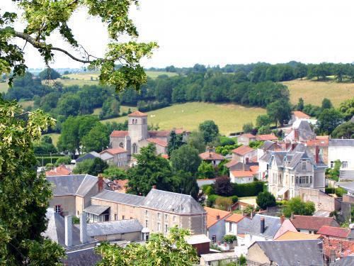 | ||
Mauléon is a commune in the Deux-Sèvres department in western France. It is around 20 km south-east of Cholet, and around 70 km south-east of Nantes.
Contents
Map of Maul%C3%A9on, France
History
Mauléon was formed in 1965 by the merger of the two former communes of Châtillon and Saint-Jouin-sous-Châtillon. The territory of the commune also includes the villages of La Chapelle-Largeau, Loublande, Moulins, Rorthais, Saint-Amand-sur-Sèvre, Saint-Aubin-de-Baubigné and Le Temple
References
Mauléon, Deux-Sèvres Wikipedia(Text) CC BY-SA