
Topo map USGS Maturango Peak | Elevation 2,695 m | |
 | ||
Similar Montgomery Peak, Grapevine Peak, Hayford Peak, Wildrose Peak, Clark Mountain | ||
Maturango Peak is the highest mountain in the Argus Range. It is located in Inyo County, California and reaches an elevation of 8,843 feet (2,695 m). The area is under the control of the Naval Air Weapons Station China Lake and access is restricted.
Contents
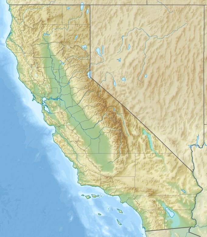
Map of Maturango Peak, California, USA
Origin of the nameEdit
The name “Maturango” first appeared in 1877 on the Wheeler Survey Map. It may be derived from the Spanish word “maturrango” (an appellation used in Buenos Aires for a European, meaning a bad horseman or a bad horse), or it may be derived from the name Malarango, a chief of the Coso people.
References
Maturango Peak Wikipedia(Text) CC BY-SA