
Population 194 (2006 census) Postal code 2652 | Postcode(s) 2652 County Bourke Elevation 192 m Local time Wednesday 6:46 PM | |
 | ||
Location 496 km (308 mi) SW of Sydney492 km (306 mi) NW of Melbourne70 km (43 mi) NW of Wagga Wagga36 km (22 mi) E of Narrandera11 km (7 mi) W of Ganmain Weather 31°C, Wind NE at 24 km/h, 33% Humidity | ||
Matong railway station at harvest
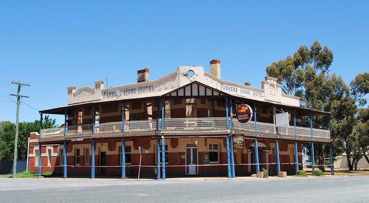
Matong /məˈtɒŋ/ is a town in the central east part of the Riverina region of New South Wales, Australia. The town is 37 kilometres (23 mi) east from Narrandera and 26 kilometres (16 mi) west from Coolamon. At the 2006 census, Matong had a population of 194 people.
Contents
Map of Matong NSW 2652, Australia
References
Matong Wikipedia(Text) CC BY-SA