
 | ||
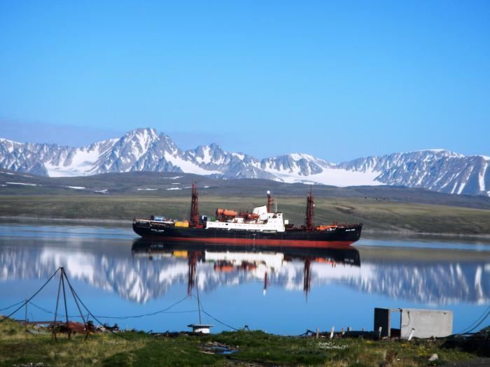
Matochkin Strait or Matochkin Shar (Russian: Ма́точкин Шар) is a 323 km2 (125 sq mi) strait, structurally a fjord, between the Severny and Yuzhny Islands of Novaya Zemlya. It connects the Barents Sea and the Kara Sea.
Contents
Map of Matochkin Strait, Russia
Geography
The Matochkin Strait is one of the largest fjords in the world. The banks along the strait are high and steep. Its length is approximately 100 kilometres (60 mi) and its width in its narrowest part is approximately 600 metres (660 yd). The strait is covered with ice for the most of the year. There are fishing settlements along the strait (Matochkin Shar, Stolbovoy).
History
It is also the site where, from 1963 to 1990, about 39 underground nuclear tests took place in a vast array of tunnels and shafts. After 2000, Russia started to reactivate the test site by enlarging old tunnels and starting construction work. Each summer since then various subcritical hydronuclear experiments have taken place. In 2004, Rosatom reportedly performed a series of subcritical hydronuclear experiments with up to 100 grams (3.5 oz) of weapon-grade plutonium each.