
Area 495.4 km² | Time zone BST (UTC+6) | |
 | ||
Website Official Map of Matiranga | ||
Matiranga (Bengali: মাটিরাঙ্গা) is an Upazila of Khagrachari District in the Division of Chittagong, Bangladesh.
Contents
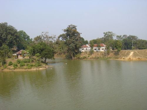
Map of Matiranga, Bangladesh
Geography
Matiranga is located at 23.0417°N 91.8750°E / 23.0417; 91.8750 . It has 14948 households and total area 495.39 km².
Demographics
As of the 1991 Bangladesh census, Matiranga has a population of 71949. Males constitute 52.38% of the population, and females 47.62%. This Upazila's eighteen up population is 35896. Matiranga has an average literacy rate of 24.1% (7+ years), and the national average of 32.4% literate.
Administration
Matiranga has 7 Unions/Wards, 28 Mauzas/Mahallas, and 255 villages.
References
Matiranga Upazila Wikipedia(Text) CC BY-SA