
Local time Wednesday 3:33 PM | ||
 | ||
Weather 21°C, Wind S at 23 km/h, 53% Humidity | ||
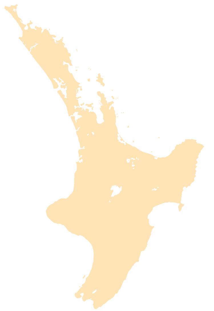
Matatoki is a locality on the Hauraki Plains of New Zealand. It lies on State Highway 26, south east of Thames and north of Paeroa. The Matatoki Stream runs from the Coromandel Range through the area to join the Waihou River.
Contents
Map of Matatoki 3578, New Zealand
The Kopu sawmill, a few km north of Matatoki, closed at the end of June, 2008, with the loss of 145 jobs.
Education
Matatoki School is a coeducational full primary (years 1-8) school with a decile rating of 9 and a roll of 64.
References
Matatoki Wikipedia(Text) CC BY-SA