Postcode(s) Map of postcodes | Time zone NZST (UTC+12) Area 1,754 km² | |
 | ||
Points of interest Hobbiton Movie Set, Wairere Falls, Hauraki Rail Trail, Bilbo Baggins's Home, Firth Tower Museum Destinations | ||
The Matamata-Piako District is a local government area in the Waikato region of New Zealand. It lies to the east of the city of Hamilton.
Contents
Map of Matamata-Piako District, Waikato, New Zealand
Geography
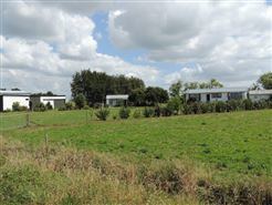
The district encompasses the southern end of the Hauraki Plains and much of the Thames Valley, and is bounded in the east by the Kaimai Range. The rivers Piako and Waihou run through the district.
The towns of Matamata, Morrinsville and Te Aroha are all within the district, with the Council's head office based in Te Aroha. The main industry in the region is dairy farming and Thoroughbred breeding and training. Other communities in the district include Mangateparu and Waitoa.
The district's population at the June 2016 was 34,100, of whom 6,606 lived in Morrinsville, 6,309 in Matamata, and 3,768 in Te Aroha.
Twin cities
Matamata-Piako is twinned with:
Ballina, New South Wales, Australia