
Time zone GMT (UTC+0) | Area 29,445 km² | |
 | ||
Départements ListKanelMatamRanérou Ferlo | ||
Matam is a region of Senegal (regional capitals have the same name as their respective regions).
Contents
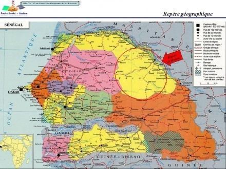
Map of Matam Region, Senegal
It is a stark, flat, arid place bounded on the north by the Sénégal River and the south by the Sahelian plain studded with baobab trees. Matam is populated by the tall Pulaar-speaking Toucouleur people who brought Islam to Senegal in the 11th century and gave us the music of Baaba Maal in the 21st century.
Departments
Matam region is divided into 3 departments:
Geography
Matam is traversed by the northwesterly line of equal latitude and longitude.
Cities and Villages
References
Matam Region Wikipedia(Text) CC BY-SA