
Existed: 1972 – present Length 11.97 km | Counties: Worcester Constructed 1972 | |
 | ||
County | ||
Route 49 is a state highway in the U.S. state of Massachusetts. Known as Podunk Pike, the highway runs 7.44 miles (11.97 km) from U.S. Route 20 (US 20) in Sturbridge north to Route 9 in Spencer. Route 49 provides an expressway connection between US 20 and Route 9 in southwestern Worcester County.
Contents
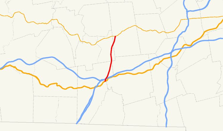
Map of MA-49, Massachusetts, USA
Route description
Route 49 begins at US 20 (Charlton Road) in the town of Sturbridge. The highway heads north as a partially controlled-access two-lane highway with a speed limit of 55 miles per hour (89 km/h), which it maintains for its whole length except at its ends. Route 49 crosses over Interstate 90 (Massachusetts Turnpike) with no access as it clips the northwest corner of the town of Charlton. The highway parallels Podunk Road for most of its course as it passes to the east of Wells State Park and enters the town of East Brookfield. Route 49 enters the town of Spencer, crosses over CSX's Boston Subdivision rail line, and crosses over the Sevenmile River immediately before it reaches its northern terminus at Route 9 (Main Street).
Major Intersections
The entire route is in Worcester County.