
Existed: 1951 – present Counties: Barnstable Constructed 1951 | Length 10.9 km | |
 | ||
County Barnstable County, Massachusetts | ||
Massachusetts Route 124 is a north–south state highway located in the towns of Harwich and Brewster in the U.S. state of Massachusetts.
Contents
Map of MA-124, Massachusetts, USA
Route description
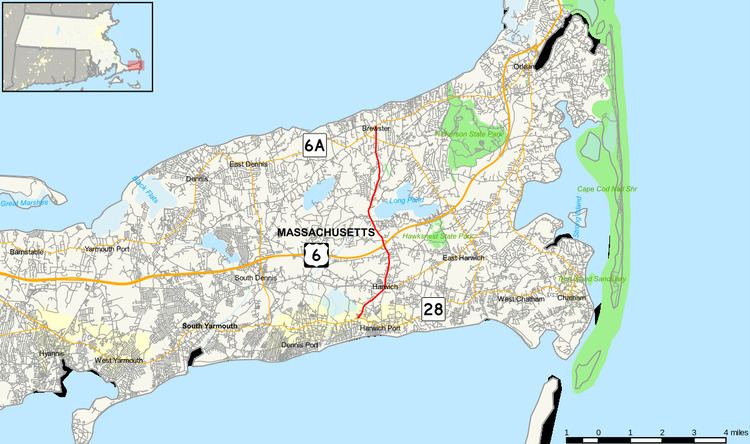
Route 124 begins at the intersection of Route 28, overlapping Route 39. It leaves Route 39 next to the First Parish Church in downtown Harwich. After 1.3 miles (2.1 km), the road passes the Mid-Cape Highway at Exit 10 off the Mid-Cape Highway. The road crosses into Harwich just north of a pass between Seymour Pond, Hinckley's Pond, and Long Pond, 1.5 miles (2.41 km) north of the Mid-Cape Highway. After 0.5 miles (0.80 km) the Cape Cod Rail Trail bike path crosses over and follows alongside the road for another 1.5 miles (2.41 km). The road crosses Route 137 after 2 miles (3.22 km). After less than 0.5 miles (0.80 km), the road ends at Route 6A and Harwich Road.
History
Route 124 was formerly designated Route 24, prior to the completion of the initial stretch of the current Route 24 freeway in 1951. When the freeway was given the Route 24 designation, the existing Route 24 was renumbered to 124.
Major intersections
The entire route is in Barnstable County.