
Primary inflows Basin countries United States Max. width 0.75 mi (1.21 km) Area 4.05 km² | Max. length 5 mi (8.0 km) Surface elevation 1,275 m | |
 | ||
Location Mason County, Washington | ||
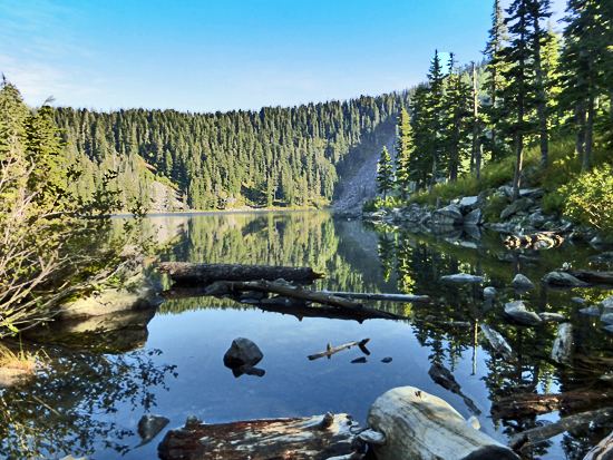
Mason lake 2013
Mason Lake is a natural elongated lake south of Belfair, Washington, United States in Mason County. Named for Charles H. Mason, the first secretary of Washington Territory, the lake is on the isthmus of the Kitsap Peninsula between the Hood Canal and Pickering Passage of the Case Inlet. The smaller Benson Lake is to its eastern side.
Contents
- Mason lake 2013
- Map of Mason Lake Washington 98045 USA
- Ira spring trail mason lake wa 4k uhd
- References
Map of Mason Lake, Washington 98045, USA
Mason Lake is approximately 1000 acres in size and four miles long. Its maximum depth is 90 feet and the mean depth is 48 feet. With 10.9 miles of shoreline, the lake sits at 194 feet above sea level.
More than a thousand residents live yearlong around the shores of Mason Lake, the second largest freshwater lake in Mason County, second to the manmade Lake Cushman to its northwest.
Originally a summer vacation community, the lake has always been known for its power boats, jet skis and water skiing. A county park provides picnic and boat launching access. Swimming is limited to private access parks and residences. The single lane boat launch is on the steeper side and winches tend to get jammed if they're in the locked or retrieval state.
The community of Mason Lake is located centrally between Grapeview and Harstine Island to the east, and Twanoh State Park to the west. Much of the area surrounding Mason Lake is commercial timberland in various states of harvest.