
 | ||
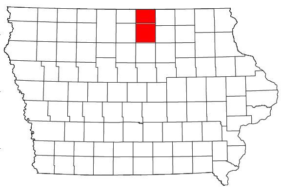
The Mason City Micropolitan Statistical Area, as defined by the United States Census Bureau, is an area consisting of two counties in north central Iowa, anchored by the city of Mason City.
Contents
- Counties
- Places with more than 25000 inhabitants
- Places with 1000 to 10000 inhabitants
- Places with less than 1000 inhabitants
- Unincorporated places
- Demographics
- References
As of the 2000 census, the μSA had a population of 54,356 (though a July 1, 2009 estimate placed the population at 51,150).
Counties
Places with more than 25,000 inhabitants
Places with 1,000 to 10,000 inhabitants
Places with less than 1,000 inhabitants
Unincorporated places
Demographics
As of the census of 2000, there were 54,356 people, 22,652 households, and 14,664 families residing within the μSA. The racial makeup of the μSA was 96.57% White, 0.73% African American, 0.16% Native American, 0.62% Asian, 0.02% Pacific Islander, 0.81% from other races, and 1.10% from two or more races. Hispanic or Latino of any race were 2.60% of the population.
The median income for a household in the μSA was $36,156, and the median income for a family was $43,931. Males had a median income of $29,859 versus $21,339 for females. The per capita income for the μSA was $18,068.