
Country United States FIPS code 19-40665 Elevation 371 m Zip code 50448 Local time Saturday 11:04 PM | Time zone Central (CST) (UTC-6) GNIS feature ID 0458045 Area 3.96 km² Population 261 (2013) Area code 641 | |
 | ||
Weather -8°C, Wind N at 6 km/h, 46% Humidity | ||
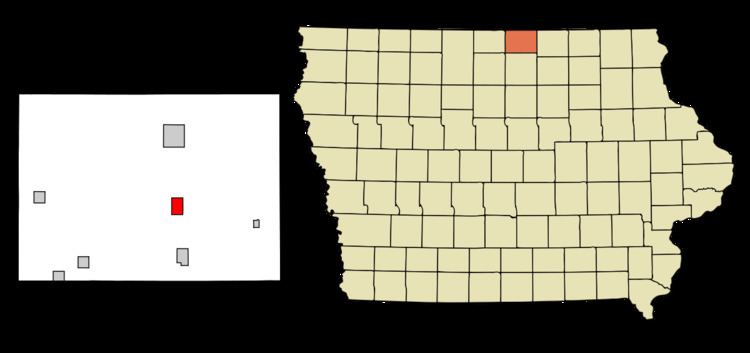
Kensett is a city in Worth County, Iowa, United States. The population was 266 at the 2010 census. It is part of the Mason City Micropolitan Statistical Area.
Contents
Map of Kensett, IA 50448, USA
History
Kensett was platted in 1872 shortly after the railroad was built through that territory in 1871.
Geography
Kensett is located at 43°21′14″N 93°12′31″W (43.353859, -93.208560).
According to the United States Census Bureau, the city has a total area of 1.53 square miles (3.96 km2), all of it land.
2010 census
As of the census of 2010, there were 266 people, 125 households, and 77 families residing in the city. The population density was 173.9 inhabitants per square mile (67.1/km2). There were 142 housing units at an average density of 92.8 per square mile (35.8/km2). The racial makeup of the city was 98.1% White, 1.1% Asian, 0.4% from other races, and 0.4% from two or more races. Hispanic or Latino of any race were 0.8% of the population.
There were 125 households of which 16.8% had children under the age of 18 living with them, 47.2% were married couples living together, 9.6% had a female householder with no husband present, 4.8% had a male householder with no wife present, and 38.4% were non-families. 32.8% of all households were made up of individuals and 14.4% had someone living alone who was 65 years of age or older. The average household size was 2.13 and the average family size was 2.60.
The median age in the city was 50.3 years. 15% of residents were under the age of 18; 6.5% were between the ages of 18 and 24; 21.4% were from 25 to 44; 36.5% were from 45 to 64; and 20.7% were 65 years of age or older. The gender makeup of the city was 49.6% male and 50.4% female.
2000 census
As of the census of 2000, there were 280 people, 131 households, and 77 families residing in the city. The population density was 183.5 people per square mile (70.7/km²). There were 143 housing units at an average density of 93.7 per square mile (36.1/km²). The racial makeup of the city was 100.00% White.
There were 131 households out of which 19.8% had children under the age of 18 living with them, 51.1% were married couples living together, 4.6% had a female householder with no husband present, and 40.5% were non-families. 35.1% of all households were made up of individuals and 18.3% had someone living alone who was 65 years of age or older. The average household size was 2.14 and the average family size was 2.67.
In the city, the population was spread out with 20.0% under the age of 18, 7.5% from 18 to 24, 26.8% from 25 to 44, 26.8% from 45 to 64, and 18.9% who were 65 years of age or older. The median age was 44 years. For every 100 females there were 101.4 males. For every 100 females age 18 and over, there were 100.0 males.
The median income for a household in the city was $30,500, and the median income for a family was $40,000. Males had a median income of $29,000 versus $20,179 for females. The per capita income for the city was $15,601. About 14.3% of families and 17.2% of the population were below the poverty line, including 35.1% of those under the age of eighteen and 14.0% of those sixty five or over.