
Formed September 6, 1856 Postal Code G0W 2H0 Population 2,213 (2011) Province Québec | RCM None Time zone EST (UTC−5) Area 15.2 km² Local time Tuesday 10:45 AM | |
 | ||
Weather -16°C, Wind N at 13 km/h, 58% Humidity | ||
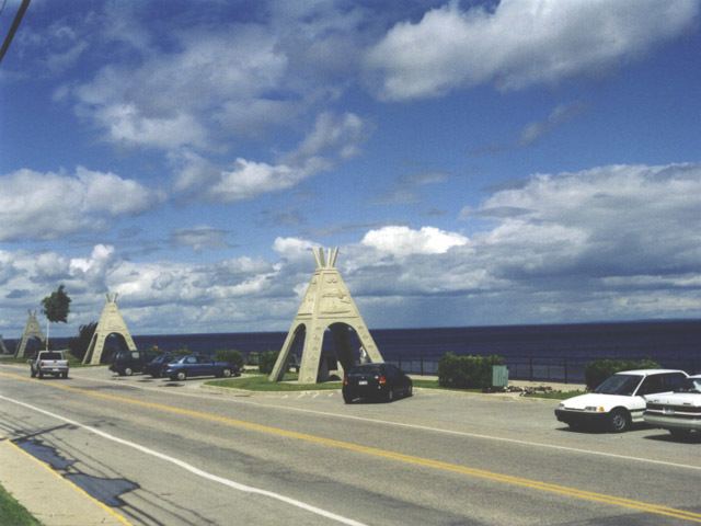
Mashteuiatsh is a First Nations reserve in the Saguenay–Lac-Saint-Jean region of Quebec, Canada, about 6 kilometres (3.7 mi) north from the centre of Roberval. It is located on a headland jutting out on the western shores of Lake Saint-Jean known as Pointe-Bleue, in the geographic township of Ouiatchouan, and belongs to the Montagnais du Lac St-Jean Innu band. It is geographically within the Le Domaine-du-Roy Regional County Municipality but administratively not part of it.
Contents
Map of Mashteuiatsh, QC, Canada
Previously officially known as Ouiatchouan Reserve, it was renamed Mashteuiatsh in 1985, from Ka Mesta8iats, meaning "where there is a point" or "seeing one yet again at the point".
Mashteuiatsh is serviced by a health centre, community radio station, arena, library, community and sports centre, social services centre, municipal water and sewer system, fire station, and an aboriginal police force. The reserve is home to the Mashteuiatsh Amerindian Museum (Musée amérindien de Mashteuiatsh), which was founded in 1977 with a mission to preserve Innu cultural heritage.
History
Before Europeans arrived in the area, the site was a frequently used stopover place and camp of the indigenous Innu. Circa 1775, a trading post was established there, owned by English merchants Thomas Dunn and John Gray.
In 1853, the Commissioner of Crown Lands, John Rolph, had proposed to assign the Innu living near the Peribonka River, north of Lake Saint-Jean, a reserve of 16,000 acres (6,500 ha) and the Innu residing in Métabetchouan Township, south of Lake Saint-Jean, were allotted 4,000 acres (1,600 ha). But because Pointe-Bleue had been their traditional site and because loggers would not respect the boundaries of the reserved lands, the Innu asked the Government of Canada to exchange these lands bordering the Peribonka and Métabetchouane Rivers for those in Ouiatchouan Township where Pointe-Bleue is. This request was granted in 1856, and the Innu were allotted an area of 23,040 acres (9,320 ha), from then on officially known as Ouiatchouan Reserve.
In 1867, the Hudson's Bay Company established there its trading post. This gave the reserve some importance, attracting an Oblates' mission in 1875, and even resulting in the closure of the Métabetchouan Post in 1880. Nevertheless, the Innu showed no interest in permanent settlement. Furthermore, under insistent pressure by political and religious authorities who promoted the area's colonization by new settlers, the Innu ceded more than 15,000 acres (6,100 ha) back to the government in 1869, and another 2,400 acres (970 ha) in 1895. The reserve was reduced in size again in 1901 when more lots were sold off, in 1911 when the James Bay & Eastern Railway was built through it, and in 1933 when the Duke Price Power Company raised Lake Saint-Jean's water level by more than 15 feet (4.6 m), leaving only the lands bordering the lake.
In 1985 and 1986, the Lac St-Jean Innu began claiming for compensation and recovery of most of these lost lands. On February 28, 2000, a settlement agreement with the Government of Canada was signed.
Demographics
As of December 2009, the band counted 4959 members, of which 2922 persons are living in the community.
Population trend:
Private dwellings occupied by usual residents: 794 (total dwellings: 1,005)
Mother tongue:
Economy
The local economy is based mostly on logging, construction, transport, and tourism. There are some 130 businesses on the reserve that provide services such as: food, hotel accommodations, sawmills, electrician, auto mechanics, taxi, arts and handicrafts, post office, excavation, plumbing, translation, camping, hardware, convenience store, restaurants.
Education
There are two schools on the reserve: