
Existed: 1933 – present East end: Cove Point Length 4.31 km | Constructed 1933 | |
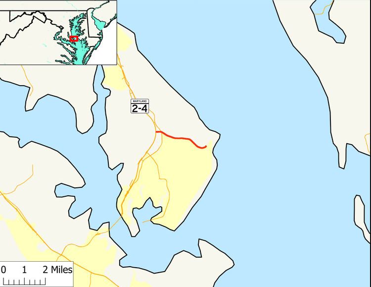 | ||
Maryland Route 497 (MD 497) is a state highway in the U.S. state of Maryland. Known as Cove Point Road, the state highway runs 2.68 miles (4.31 km) from MD 2 and MD 4 in Lusby east to the community of Cove Point. MD 497 was constructed in the early 1930s.
Contents
Map of MD-497, Lusby, MD 20657, USA
Route description
MD 497 begins at an intersection with MD 2 and MD 4, which run concurrently as Solomons Island Road, in Lusby. The state highway heads east as a two-lane road and intersects the old alignment of MD 2, MD 765 (H.G. Trueman Road). MD 497 continues east along Cove Point Park before intersecting Little Cove Point Road, which leads to the Chesapeake Ranch Estates community and the Chesapeake Ranch Airstrip. The state highway passes by the entrance to the Cove Point Liquefied Natural Gas Terminal and through a forested area before reaching its eastern terminus at the entrance to the Cove Point community. The roadway continues as county-maintained Lighthouse Boulevard to the Cove Point Light.
History
MD 497 was constructed as a gravel road from MD 2 (now MD 765) to its eastern terminus by 1933. The state highway was extended west to MD 2 and MD 4 when the two highways were relocated from MD 765 to a new divided highway to the west around 1987.
Junction list
The entire route is in Calvert County.