
Existed: 1927 – present Counties: Talbot Constructed 1927 | Length 2.54 km | |
 | ||
North end: Miles River Road near Unionville | ||
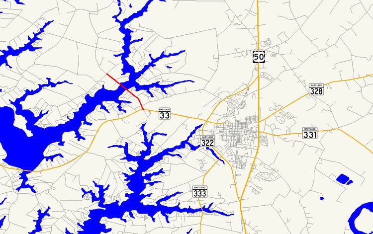
Maryland Route 370 (MD 370) is a state highway in the U.S. state of Maryland. Known as Unionville Road, the state highway runs 1.58 miles (2.54 km) from MD 33 near Easton to Miles River Road near Unionville. MD 370 connects Easton with the northwestern Talbot County villages of Unionville and Tunis Mills, which are separated from the county seat by the Miles River. The Miles River Bridge was constructed in the early 1910s. MD 370 was completed in the early 1930s when the bridge was connected with a modern road to MD 33.
Contents
Map of MD-370, Easton, MD 21601, USA
Route description
MD 370 begins at an intersection with MD 33 (St. Michaels Road) a short distance west of the town of Easton. The state highway heads northwest as a two-lane road through a mix of farmland and residential subdivisions. MD 370 crosses the Miles River on a bascule drawbridge before reaching its northern terminus at an intersection with Miles River Road near Unionville. Unionville Road continues north as a county highway toward the center of Unionville and Tunis Mills.
History
The original Miles River Bridge was constructed as a state-aid project in 1913, along with 2 mi (3.2 km) of roads connecting the bridge to Unionville and Tunis Mills. The bridge was connected with a modern road to MD 33 by 1933. The original Miles River Bridge was replaced by the present bridge in 1984.
Junction list
The entire route is in Talbot County.