
Carries two lanes of SH 82 ID number TXNBI 201240236701001 Opened 1970 Location Port Arthur | Total length 1,534 m Width 8.5 m Bridge type Cantilever bridge | |
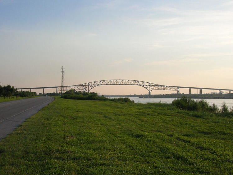 | ||
Official name Martin Luther King Bridge Body of water Gulf Intracoastal Waterway Similar Rainbow Bridge, Dauphin Island Bridge, Blackburn Point Bridge, Belle Chasse Tunnel, Judge Perez Bridge | ||
The Martin Luther King Bridge or Gulfgate Bridge of Port Arthur, Texas is a cantilever bridge spanning the Sabine-Neches ship canal. It was opened in the 1970 to connect Port Arthur with Pleasure Island and Louisiana.
References
Martin Luther King Bridge (Port Arthur, Texas) Wikipedia(Text) CC BY-SA