
 | ||
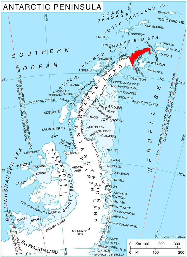
Marla Glacier (Bulgarian: ледник Марла, ‘Lednik Marla’ \'led-nik 'mar-la) is the 14 km long and 1.5 km wide glacier on the northeast side of Detroit Plateau on southern Trinity Peninsula in Graham Land, Antarctica, situated south of Aitkenhead Glacier and north of Diplock Glacier. It is draining southeastwards along the east slopes of Povien Peak, then turning east between Mount Roberts and Bezenšek Spur, and flowing into Prince Gustav Channel in Weddell Sea.
Contents
Map of Marla Glacier, Antarctica
The glacier is named after Marla River in Northern Bulgaria.
Location
Marla Glacier is centred at 64°00′30″S 58°53′00″W.
Maps
References
Marla Glacier Wikipedia(Text) CC BY-SA