 | ||
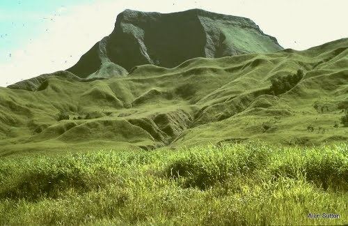
Markham valley png 2013 papua new guinea north of australia
Markham Valley is a geographical area in Papua New Guinea. The name Markham was derived from Captain Markham who named the river and sailed upstream in the early 1900s. The valley contains two districts of Morobe Province: Houn Gulf district on the east and Markham district on the west. The inhabitants of the valley are of Polynesian descent and live in large villages with a chieftain political system.
Contents
- Markham valley png 2013 papua new guinea north of australia
- Markham valley baptist church youths lae city 2011
- References
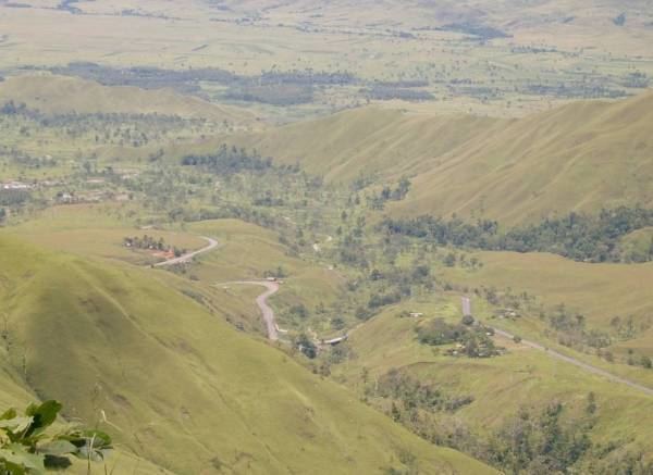
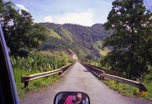
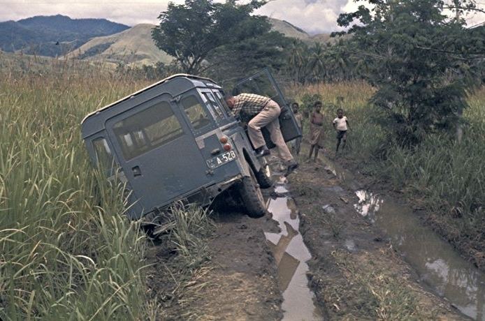
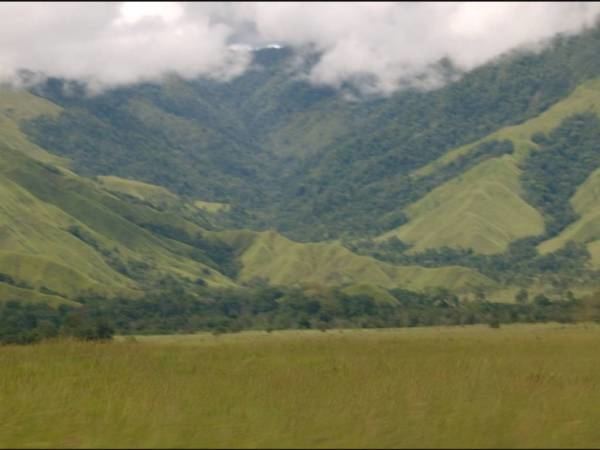
The valley is described as "Flatter than a pancake for miles and miles in all directions, until it runs into the mountains that surround it on three sides" and "always hot, and usually bone dry." The Highlands Highway runs through the valley. The Markham River runs through the valley. According to one visitor, about once a year, the local Papua New Guineans burn the dry grass.
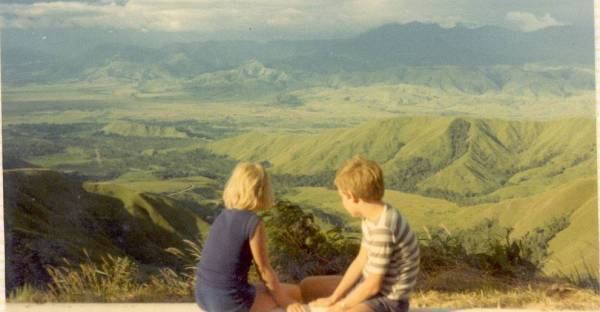
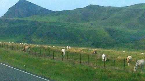
The Markham Valley runs from the port city of Lae up to the junction of the Highlands Highway and the road to Madang. The Markham Valley is approximately 160 km (100 miles) long and gains approximately 500 m in elevation. The dominant land use in the valley is cattle pasture with some sugar cane production and chicken farming.
Markham valley baptist church youths lae city 2011