 | ||
Manzano mountains
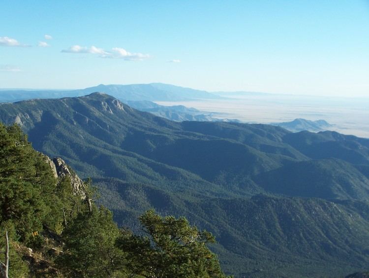
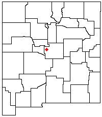
The Manzano Mountains are a small mountain range in the central part of the US State of New Mexico. They are oriented north-south and are about 40 miles (65 km) long. The center of the range lies about 25 miles (40 km) southeast of Albuquerque, and the northern foothills (termed the Manzanitas) are just a few miles east of the edge of the city. The name "Manzano" is Spanish for "apple tree"; the mountains were named for apple orchards planted at the nearby town of Manzano.
Contents
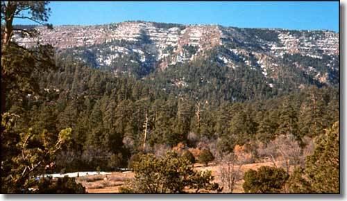
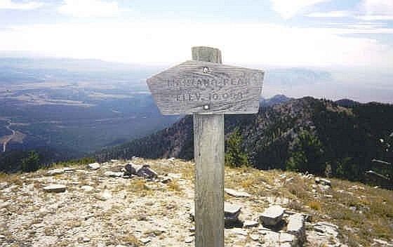
The high point of the Manzano Mountains is Manzano Peak (10,098 ft, 3,078 m), at the southern end of the range. Other notable peaks include flat-topped Bosque Peak (9,610 ft, 2,929 m), near the center of the range, and the twin pyramids of Mosca Peak (9,509 ft, 2,898 m) and Guadalupe Peak (9,450 ft, 2,880 m). The last two are the most easily recognized peaks in the range as viewed from Albuquerque. Manzano Peak and Guadalupe Peak are the most dramatic in the range in terms of local relief and steepness; however, there are few cliffs in the range, as compared to the more dramatic Sandia Mountains.
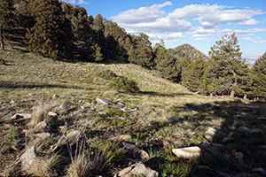
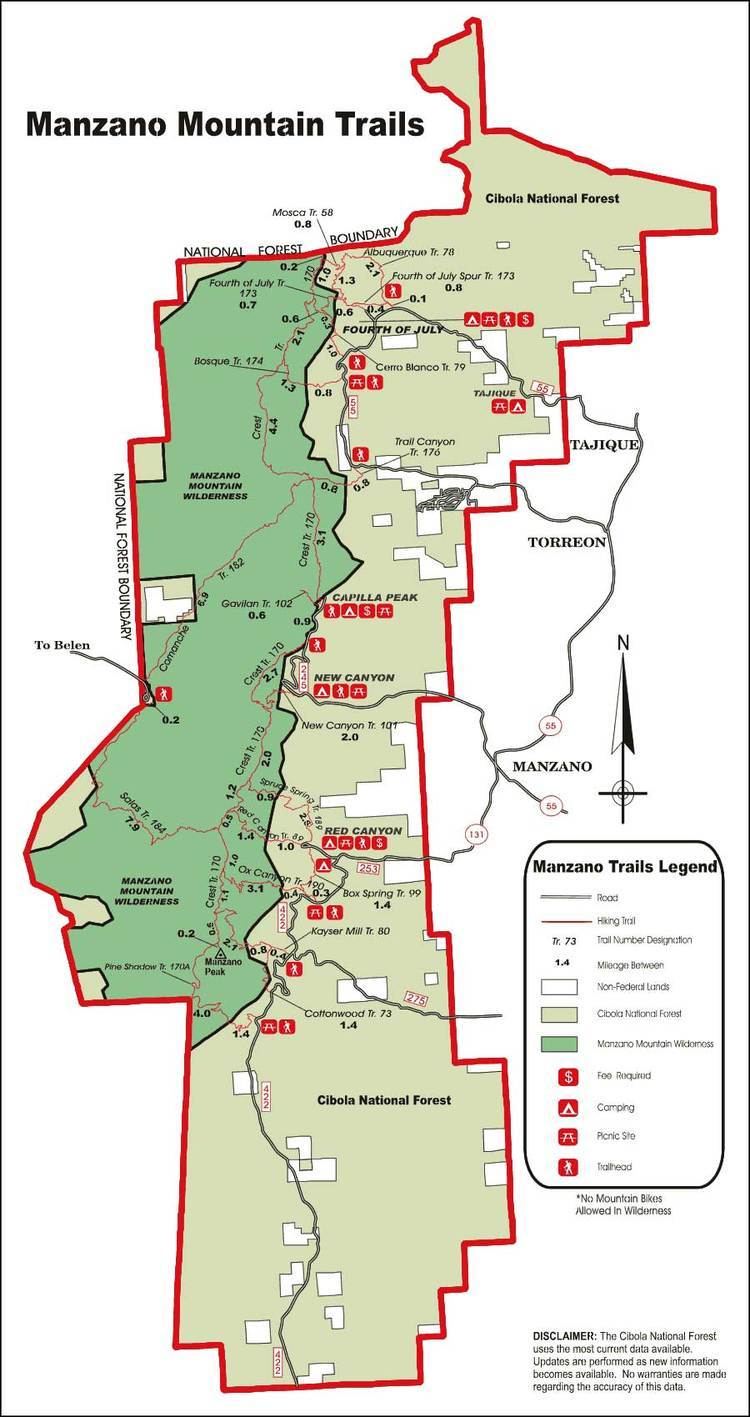
Manzano Peak and the crest and western slopes of the range are included in the Manzano Wilderness which comprises 36,875 acres (14,923 ha) and is 17 miles (27 km) north to south and 3–5 miles (5–8 km) east-west. There are 64 miles (104 km) of trails in the wilderness, including the 22 mile Crest Trail which traverses the highest part of the range.
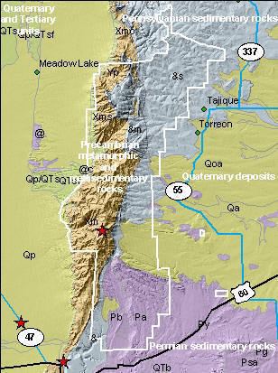
The Manzano Mountains are the southern part of a larger geologic unit known as the Sandia-Manzano Mountains, which are a fault-block range forming part of the eastern edge of the Albuquerque Basin in the Rio Grande rift. They are separated from the Sandia Mountains to the north by Tijeras Canyon, through which Interstate 40 follows the path of historic U.S. Route 66. U.S. Route 60 runs around the southern edge of the range.
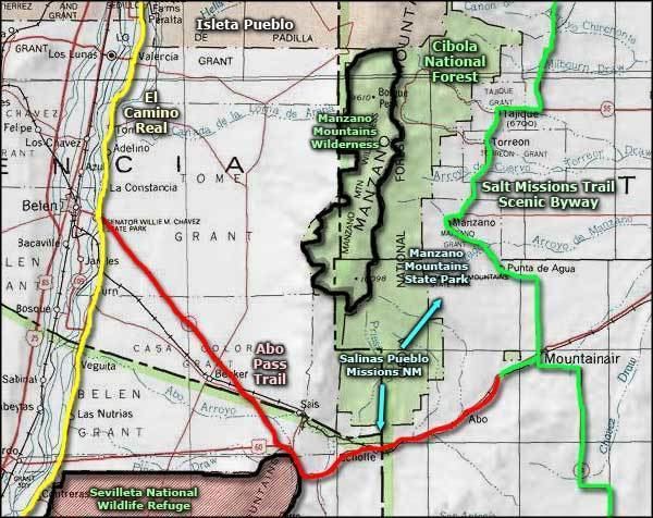
The southern part of the Manzano Mountains is in the Mountainair Ranger District while much of the northern part is in the Sandia Ranger District of the Cibola National Forest. Extensive parts of the northern part of the range (and of the Manzanitas) lie within Kirtland Air Force Base and Isleta Pueblo, and are closed to public access.
On September 14, 1977, a USAF Boeing EC-135 crashed into the Manzano Mountains just after takeoff from the Albuquerque International Sunport, killing all 20 people on board.
While the Manzanos are almost as close to Albuquerque as are the Sandias, they are much less visited, lacking the paved road and tramway access of their northern neighbors. However, many recreational sites exist, with opportunities for picnicing, camping, mountain biking, and hiking.